

Common · Places
Hellern
Human settlement in Germany
Hellern is a district of Osnabrück with roughly 6,800 residents, located on the western and south-western borders of the city. It is bordered by the Atter, Westernerg, Weststadt, Wüste and Sutthausen districts; on its west and south-west it borders on the municipality of Lotte in North Rhine-Westphalia and also Hasbergen in the surrounding district of Osnabrück.
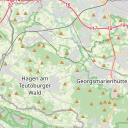
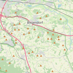
On the map
From Wikipedia
Hellern is a district of Osnabrück with roughly 6,800 residents, located on the western and south-western borders of the city. It is bordered by the Atter, Westernerg, Weststadt, Wüste and Sutthausen districts; on its west and south-west it borders on the municipality of Lotte in North Rhine-Westphalia and also Hasbergen in the surrounding district of Osnabrück. Hellern is located in the valley of the small Düte river. Originally Hellern was a village in the district of Osnabrück; as part of a larger administrative reform in the area it was incorporated into Osnabrück on 1 July 1972, which based its decision to do so on the shortage of building land in the city. A land-use plan for Hellern was put together in 1973. An industrial estate was set up between Bundesautobahn 30 and the Rheiner Landstraße. Four high-rise buildings were scheduled to be constructed on a five-hectare site along Töpferstraße, however after this idea was vehemently rejected the city wished only to build one eight-storey residential house. Today there are numerous three to four-storey residential houses along the Töpferstraße. After the city built a school, kindergarten and community centre planning started to turn towards turning the area into a central location in the city; however there were too few businesses in the area to achieve this. There are two churches in Hellern: the Protestant Martinskirche and the Catholic St. Wiho-Kirche.
Text: Wikipédia, CC BY-SA 4.0. · Image: Tebdi (CC BY-SA 3.0) ·