

Common · Places
Pasir Ris
Planning area and residential town in the East Region of Singapore
Pasir Ris (IPA: pah-sir RISS or pah-say RISS) is a planning area and residential town located in the East Region of Singapore. It is bordered by Tampines and Paya Lebar to the south, Sengkang to the southwest and Changi to the east.
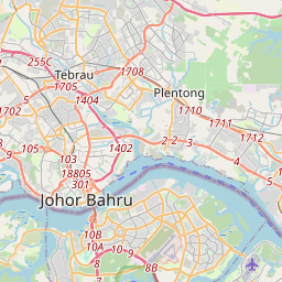
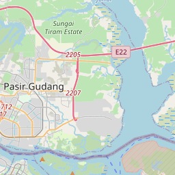
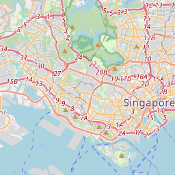
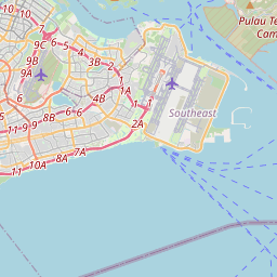
On the map
From Wikipedia
Pasir Ris (IPA: /ˌpɑːsər ˈrɪs, -seɪ-/ pah-sir RISS or pah-say RISS) is a planning area and residential town located in the East Region of Singapore. It is bordered by Tampines and Paya Lebar to the south, Sengkang to the southwest and Changi to the east. The planning area also shares riverine boundary with Punggol to the west, separated by the Serangoon River, as well as having a maritime boundary with the North-Eastern Islands planning area, across the Straits of Johor. Like other new towns, public transport facilities were factored into the development of Pasir Ris. Pasir Ris is easily accessible via bus services at Pasir Ris Bus Interchange and the Mass Rapid Transit at Pasir Ris MRT station. Today, landmarks in the area include the NTUC Downtown East, Pasir Ris Beach Park and White Sands Shopping Mall. The first reference to a village of Pasir Ris, Passier Reis (or Passier Rice), appeared in early 1800s. The second part of the city name, Ris, in Malay, means bolt rope. Pasir Ris may also mean "white sand" in Malay. Pasir Ris Town is named after the long stretch of sandy white beach along the north-east coastline of Singapore, facing Pulau Ubin.
Text: Wikipédia, CC BY-SA 4.0. · Image: Terence Ong (CC BY 2.5) ·