

Comum · Lugares
Rocester
Village in Staffordshire, England, UK
Rocester is a village and civil parish in the East Staffordshire district of Staffordshire, England. Its name is spelt Rowcestre in the Domesday Book of 1086. It is located on the Derbyshire border.
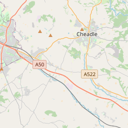
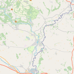
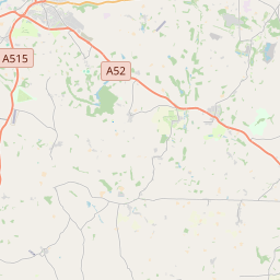
No mapa
Na Wikipédia
Texto em inglês Ainda não há artigo no seu idioma: trecho em inglês.
Rocester /ˈroʊstər/ is a village and civil parish in the East Staffordshire district of Staffordshire, England. Its name is spelt Rowcestre in the Domesday Book of 1086. It is located on the Derbyshire border. The village is about 4 miles (6.4 km) north of Uttoxeter and 8.5 miles (13.7 km) southwest of Ashbourne, situated on the county border with Derbyshire. According to the 2001 census the parish had a population of 1,431. The village lies on a triangle of land between the River Churnet and River Dove, which join to the south. The parish borders, from the south going clockwise, the parishes of Uttoxeter Rural, Croxden, Denstone, Ellastone, all in East Staffordshire, and then Norbury and Roston, Marston Montgomery and Doveridge, all in the Derbyshire Dales district of Derbyshire. A Roman fort was founded on the site in about 69 AD, as an intermediate point between Derby and Newcastle-under-Lyme on a route later known as Long Lane. The remains of the earthworks can still be seen. After the Romans departed in about 400 AD, the village remained in use by the Anglo-Saxons throughout the Middle Ages.
Texto: Wikipédia em inglês, CC BY-SA 4.0. · Imagem: AtticTapestry (CC BY-SA 4.0) ·