
A30 road
Road in southern England
The A30 is a major road in England, running 284 miles (457 km) WSW from London to Land's End. The road has been a principal axis in Britain from the 17th century to early 19th century, as a major coaching route and post road.
Nº Q429589 ★
Common · Places
A30 road
Road in southern England
The A30 is a major road in England, running 284 miles (457 km) WSW from London to Land's End. The road has been a principal axis in Britain from the 17th century to early 19th century, as a major coaching route and post road.
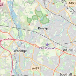
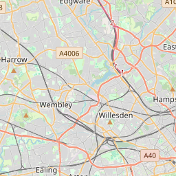
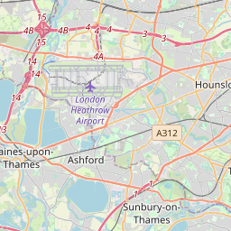
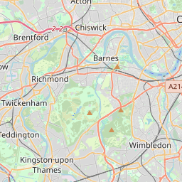
On the map
Last price
—
Floor price
—
7-day median
—
30-day sales
0
30-day range
—
In circulation
0
Price history
median
low – high
sales
No sales in this period
Show table
| Date | median | Low | High | sales |
|---|
Sales history
- Last sale
- —
- 30-day average
- —
- 30-day low
- —
- 30-day high
- —
- Sales 7d
- 0
- Sales 30d
- 0
No sales yet.
Anonymous sales: no buyer or seller shown. Figures count player-to-player sales only.
From Wikipedia
The A30 is a major road in England, running 284 miles (457 km) WSW from London to Land's End. The road has been a principal axis in Britain from the 17th century to early 19th century, as a major coaching route and post road. It used to provide the fastest route from London to the South West by land until a century before roads were numbered; nowadays much of this function is performed by the M3 (including A316) and A303 roads. The road has kept its principal status in the west from Honiton, Devon to Land's End where it is mainly dual carriageway and retains trunk road status.
Text: Wikipédia, CC BY-SA 4.0. · Image: Tony Atkin (CC BY-SA 2.0) ·
Related cards

A3 road
Major road connecting London and Portsmouth in England
Nº Q2577223 ★

A38 road
Major road in England
Nº Q4649195 ★★

A31 road
Major trunk road in southern England
Nº Q4649126 ★★

A34 road
Road in England
Nº Q4649158 ★

M3 motorway (Great Britain)
Road in England
Nº Q1785279 ★

Land's End to John o' Groats
Traversal between northeastern and southwestern extremities of Great Britain.
Nº Q6483818 ★★