

Common · Places
Ackerlspitze
Summit
At 2,329 metres above sea level, the Ackerlspitze is the second highest peak in the Kaisergebirge range in the east of the Austrian state of Tyrol. The mountain is located in the eastern part of the range, also referred to as the Ostkaiser or East Kaiser.
On the map
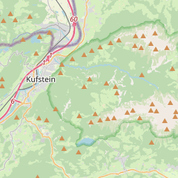
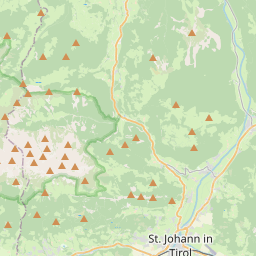
From Wikipedia
At 2,329 metres above sea level, the Ackerlspitze is the second highest peak in the Kaisergebirge range in the east of the Austrian state of Tyrol. The mountain is located in the eastern part of the range, also referred to as the Ostkaiser or East Kaiser. To the east it is flanked by the Maukspitze (2.231 m), to the north it sends a ridge to the Lärcheck (2,123 m). To the southwest a prominent, rocky arête runs over to the Regalmspitze (2,253 m) and on to the Kleines Törl. To the south the Ackerlspitze drops steeply, with vertical rock faces in places, into the Leukental valley. To the northwest it falls away just as steeply into the Griesner Cirque (Griesner Kar) and to the northeast into the Mauk Cirque (Maukkar). On fine days there is an attractive and extensive panoramic view from the summit of the Ackerlspitze over the neighbouring mountain groups and as far as the Chiemsee lake in Bavaria as well as the Großvenediger.
Text: Wikipédia, CC BY-SA 4.0. · Image: Blutgretchen (CC BY-SA 3.0) ·
Related cards
-
 ★
★
Karlspitzen
Mountain in the Kaiser Mountains in Tyrol
-
 ★★
★★
Reichenspitze
Mountain in the Zillertal Alps at the border Salzburg / Tyrol
-
 ★★★
★★★
Birkkarspitze
Mountain in Tyrol, Austria
-
 ★
★
Naunspitze
Mountain in the Kaiser Mountains in Tyrol
-
 ★★★
★★★
Dunantspitze
Ridge prominence of Durfourspitze
-
 ★★★
★★★
Hochfrottspitze
Mountain in the Allgäu Alps at the border of Tyrol, Austria and Bavaria, Germany