

Common · Places
Agno River
Fifth largest river system in the Philippines
The Agno River, also known as the Pangasinan River, is a river on the island of Luzon in the Philippines. Traversing the provinces of Benguet, Pangasinan, and Tarlac, it is one of the largest river systems in the country, with a drainage area of 5,952 square kilometres (2,298 sq mi).
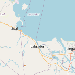
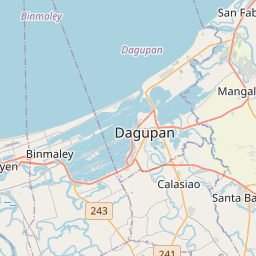
On the map
From Wikipedia
The Agno River, also known as the Pangasinan River, is a river on the island of Luzon in the Philippines. Traversing the provinces of Benguet, Pangasinan, and Tarlac, it is one of the largest river systems in the country, with a drainage area of 5,952 square kilometres (2,298 sq mi). The river originates in the Cordillera Mountains and empties into the South China Sea via Lingayen Gulf. The river is 248 kilometres (154 mi) long, making it the sixth longest river in the country. Roughly two million people live in the Agno River Valley, making it one of Philippines' larger population clusters. The river is dammed by three hydroelectric power plants: the Ambuklao Dam in Bokod, the Binga Dam in Itogon, and the San Roque Dam in San Manuel. The Agno River is the main drainage system of the area and has a catchment area of 5,952 square kilometres (2,298 sq mi). It is the third largest river in Luzon (next to Cagayan River and Pampanga River) and the fifth largest river in the Philippines. The Agno is the largest Philippine river in terms of water discharge, draining around 6.6 cubic kilometers of fresh water into Lingayen Gulf, or almost 70% of the total fresh water input into the gulf. The headwaters of Agno River are at the slopes of Mount Data in the Cordillera Mountains at an elevation of 2,090 metres (6,860 ft), where it drains Cretaceous to Paleocene igneous basement rocks, and marine siliciclastic and carbonate rocks.
Text: Wikipédia, CC BY-SA 4.0. · Image: Bing Ramos (CC BY 2.0) ·