
Alaska Highway
International highway in British Columbia and Yukon in Canada and Alaska, United States
The Alaska Highway (French: Route de l'Alaska; also known as the Alaskan Highway, Alaska-Canadian Highway, or ALCAN Highway) is a highway in North America which was constructed during World War II to connect the contiguous United States with Alaska through Canada. It begins at the junction with a few Canadian highways in Dawson Creek, British Columbia, and runs to Delta Junction, Alaska, via Whitehorse, Yukon.
Nº Q628076 ★★★
Rare · Places
Alaska Highway
International highway in British Columbia and Yukon in Canada and Alaska, United States
The Alaska Highway (French: Route de l'Alaska; also known as the Alaskan Highway, Alaska-Canadian Highway, or ALCAN Highway) is a highway in North America which was constructed during World War II to connect the contiguous United States with Alaska through Canada. It begins at the junction with a few Canadian highways in Dawson Creek, British Columbia, and runs to Delta Junction, Alaska, via Whitehorse, Yukon.
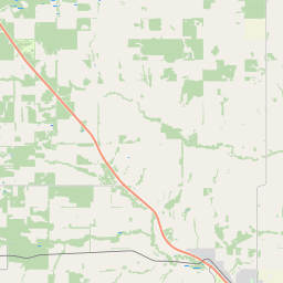
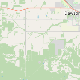
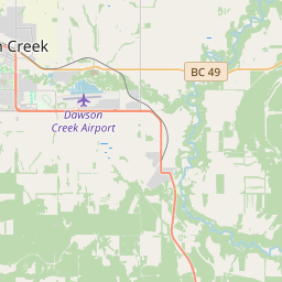
On the map
Last price
—
Floor price
—
7-day median
—
30-day sales
0
30-day range
—
In circulation
0
Price history
median
low – high
sales
No sales in this period
Show table
| Date | median | Low | High | sales |
|---|
Sales history
- Last sale
- —
- 30-day average
- —
- 30-day low
- —
- 30-day high
- —
- Sales 7d
- 0
- Sales 30d
- 0
No sales yet.
Anonymous sales: no buyer or seller shown. Figures count player-to-player sales only.
From Wikipedia
The Alaska Highway (French: Route de l'Alaska; also known as the Alaskan Highway, Alaska-Canadian Highway, or ALCAN Highway) is a highway in North America which was constructed during World War II to connect the contiguous United States with Alaska through Canada. It begins at the junction with a few Canadian highways in Dawson Creek, British Columbia, and runs to Delta Junction, Alaska, via Whitehorse, Yukon. When it was completed in 1942, it was about 1,700 miles (2,700 kilometres) long, but in 2012, it was only 1,387 mi (2,232 km). This is due to the realignments of the highway over the years, which has rerouted and straightened many sections. The highway opened to the public in 1948. Once legendary for being a rough, challenging drive, the highway is now paved over its entire length. Its component highways are British Columbia Highway 97, Yukon Highway 1, and Alaska Route 2. An informal system of historic mileposts developed over the years to denote major stopping points. Delta Junction, at the end of the highway, makes reference to its location at "Historic Milepost 1422". It is at this point that the Alaska Highway meets the Richardson Highway, which continues 96 mi (155 km) to the city of Fairbanks. This is often regarded, though unofficially, as the northwestern portion of the Alaska Highway, with Fairbanks at Historic Milepost 1520. Mileposts on this stretch of highway are measured from the port of Valdez on Prince William Sound, rather than the Alaska Highway. The Alaska Highway is popularly (but unofficially) considered part of the Pan-American Highway, which extends south (despite its discontinuity in Panama) to Ushuaia, Argentina.
Text: Wikipédia, CC BY-SA 4.0. · Image: Diego Delso (CC BY-SA 4.0) ·
Related cards

White Pass and Yukon Route
Railway line
Nº Q632324 ★★★

Dalton Highway
State highway in Alaska, United States
Nº Q802062 ★★

Alaska
State of the United States of America
Nº Q797 ★★★★★

Yukon River
River in the Yukon Territory, Canada and Alaska, United States of America
Nº Q104437 ★★★★

Alaska Marine Highway
Waterway ferry service operated by the US state of Alaska
Nº Q801878 ★★

Canada–United States border
International border between Canada and the United States, North America
Nº Q119515 ★★★