

Common · Places
Alkersleben
Municipality in Thuringia, Germany
Alkersleben (German pronunciation: [ˈalkɐsleːbn̩]) is a municipality in the Ilm-Kreis district in Thuringia, Germany. The municipality is a member of the collective municipality Riechheimer Berg.
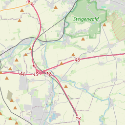
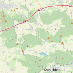
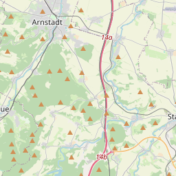
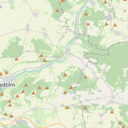
On the map
From Wikipedia
Alkersleben (German pronunciation: [ˈalkɐsleːbn̩]) is a municipality in the Ilm-Kreis district in Thuringia, Germany. The municipality is a member of the collective municipality Riechheimer Berg. Alkersleben lies in the Wipfra depression between Ettischleben in the south and Elxleben in the north, six kilometres east of Arnstadt at an altitude of about 290 metres. In the west lies the 322 metre high Kirchheimer Höhe, and in the east the landscape gradually inclines to a height of 393 metres, where both the Sichemberg and the commercial airfield are located. Alongside the Wipfra flowing through in a south-north direction, the municipal area is also completely free of forest and is used for farming. The area is a part of the Thuringian Basin and is characterised by fertile soil and a relatively dry climate. Starting from the north and going in a clockwise direction: Elxleben, Elleben, Osthausen-Wülfershausen, Bösleben-Wüllersleben, Dornheim, Arnstadt, Amt Wachsenburg. In Alkersleben, a castle once secured the crossing of the road leading from Arnstadt in the direction of Lobeda via the Wipfra. A quadrilateral hill still bears witness to this past fortification. The place was first recorded in 1257 as Alkersleibin.
Text: Wikipédia, CC BY-SA 4.0. · Image: CTHOE (CC BY-SA 3.0) ·