

Common · Places
Arandas, Ain
Commune in Ain, France
Arandas is a commune in the Ain department in the Auvergne-Rhône-Alpes region of central-eastern France. The commune covers an area of 14.10 km² (5.44 sq mi). Lionel Manos is the mayor for the 2026-2032 tenure.
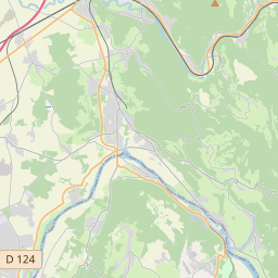
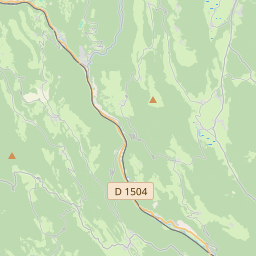
On the map
From Wikipedia
Arandas is a commune in the Ain department in the Auvergne-Rhône-Alpes region of central-eastern France. The commune covers an area of 14.10 km² (5.44 sq mi). Lionel Manos is the mayor for the 2026-2032 tenure. Arandas is some 50 km north-west of Aix-les-Bains and 10 km south-west of Hauteville-Lompnes. It can be accessed by the D 104 from Argis in the north running south to the village then continuing south as the D 104 through the heart of the commune to join the D 32 south of the commune. The D 104 itself reverses direction in the village and heads north-west to join the D 73. The commune has some farmland but is heavily forested and mountainous. There are no villages or hamlets in the commune other than Arandas. The Bossiere stream rises near the village and flows west to join the Galine river. The Ruisseau de Grinand also rises in the north of the commune, forming part of the northern boundary before flowing into the Galine.
Text: Wikipédia, CC BY-SA 4.0. · Image: Chabe01 (CC BY-SA 4.0) ·