
Arcachon Bay
Bay in France
Arcachon Basin or alternatively Arcachon Bay (French: Bassin d'Arcachon, French pronunciation: [basɛ̃ daʁkaʃɔ̃]; Gascon: Laca d'Arcaishon) is a bay of the Atlantic Ocean on the southwest coast of France, situated in Pays de Buch between the Côte d'Argent and the Côte des Landes, in the region of Aquitaine. The bay covers an area of 150 square kilometres (60 sq mi) at high tide and 40 km2 (15 sq mi) at low tide.
Nº Q810532 ★★★★
Super Rare · Places
Arcachon Bay
Bay in France
Arcachon Basin or alternatively Arcachon Bay (French: Bassin d'Arcachon, French pronunciation: [basɛ̃ daʁkaʃɔ̃]; Gascon: Laca d'Arcaishon) is a bay of the Atlantic Ocean on the southwest coast of France, situated in Pays de Buch between the Côte d'Argent and the Côte des Landes, in the region of Aquitaine. The bay covers an area of 150 square kilometres (60 sq mi) at high tide and 40 km2 (15 sq mi) at low tide.
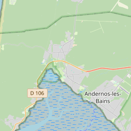
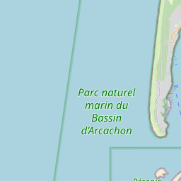
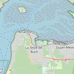
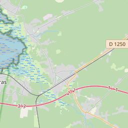
On the map
Last price
—
Floor price
—
7-day median
—
30-day sales
0
30-day range
—
In circulation
0
Price history
median
low – high
sales
No sales in this period
Show table
| Date | median | Low | High | sales |
|---|
Sales history
- Last sale
- —
- 30-day average
- —
- 30-day low
- —
- 30-day high
- —
- Sales 7d
- 0
- Sales 30d
- 0
No sales yet.
Anonymous sales: no buyer or seller shown. Figures count player-to-player sales only.
From Wikipedia
Arcachon Basin or alternatively Arcachon Bay (French: Bassin d'Arcachon, French pronunciation: [basɛ̃ daʁkaʃɔ̃]; Gascon: Laca d'Arcaishon) is a bay of the Atlantic Ocean on the southwest coast of France, situated in Pays de Buch between the Côte d'Argent and the Côte des Landes, in the region of Aquitaine. The bay covers an area of 150 square kilometres (60 sq mi) at high tide and 40 km2 (15 sq mi) at low tide. Some of its geological features are natural preservation areas. The general shape of the Bassin d'Arcachon is that of an equilateral triangle pointing north, the southwest corner of which is open to the sea, between Cap Ferret and the town of Arcachon (more specifically, one of the suburbs of La Teste-de-Buch, Pyla-sur-Mer), through a three-kilometre-long (2 mi) narrow channel (Les Passes). On the north shore is the town of Arès, then Andernos-les-Bains on the northeast. Just south of the entrance is the Dune of Pilat. Nearly in the middle of the bay is a very particular island: L'île aux Oiseaux (Isle of the Birds).
Text: Wikipédia, CC BY-SA 4.0. · Image: User Mtu33260 on fr.wikipedia (CC BY-SA 3.0) ·
Related cards

Government of the Autonomous Republic of Abkhazia
Autonomous region in Georgia, not controlled by Georgia
Nº Q2914461 ★★★★

Saint-Bertrand-de-Comminges
Commune in Haute-Garonne, France
Nº Q632081 ★★★★

Sarsabz Metro Station
Metro station in Tehran, Iran
Nº Q2373650 ★★★★

Meydan-e Enghelab-e Eslami Metro Station
Metro station in Tehran, Iran
Nº Q5909873 ★★★★

Brest region
Administrative divison in Belarus
Nº Q173822 ★★★★
Asan Cheongju Expressway
Road in South Korea
Nº Q16098445 ★★★★