

Common · Places
Arrats
River in France
The Arrats is a 162 km (101 mi) long river in southern France, left tributary of the Garonne. Its source is in the northern foothills of the Pyrenees, near Sariac-Magnoac.
On the map
From Wikipedia
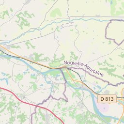
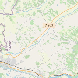
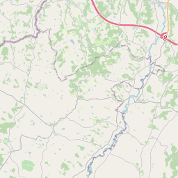
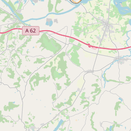
The Arrats is a 162 km (101 mi) long river in southern France, left tributary of the Garonne. Its source is in the northern foothills of the Pyrenees, near Sariac-Magnoac. It flows north through the following départements and towns: Hautes-Pyrénées Gers: Castelnau-Barbarens, Aubiet, Mauvezin, Saint-Clar Tarn-et-Garonne: Saint-Loup It flows into the Garonne near Valence, between Castelsarrasin and Agen.
Text: Wikipédia, CC BY-SA 4.0. · Image: Liak (CC BY-SA 3.0) ·


