

Common · Places
Astara District
District of Azerbaijan
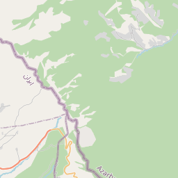
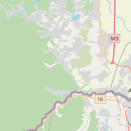
Astara District (Azerbaijani: Astara rayonu) is one of the 66 districts of Azerbaijan. It is located in the southeast of the country, in the Lankaran-Astara Economic Region. The district borders the districts of Lankaran and Lerik, as well as the Ardabil and Gilan provinces of Iran.
On the map
From Wikipedia
Astara District (Azerbaijani: Astara rayonu) is one of the 66 districts of Azerbaijan. It is located in the southeast of the country, in the Lankaran-Astara Economic Region. The district borders the districts of Lankaran and Lerik, as well as the Ardabil and Gilan provinces of Iran. Its capital and largest city is Astara. As of 2020, the district had a population of 110,000. A famous mathematician, astronomer and geographer Ptolemy (c. 100 – 160s/170s) AD was one of the oldest researchers who also visited the territory of Azerbaijan. He compiled a map of the Caspian Sea in the second century, has given a clear overview on the geographical names, objects and settlements located on its shores. The names of many cities and villages belonging to Albania, as well as the name “Astara” (Greek: Astarata) are found on this map. Another scholar of the ancient world, Strabon also pointed out the name “Astara” in his "Historical Sketches" (Historicahypomnemata). British traveler and explorer Anthony Jenkinson (1529 – 1610/1611) visited the coasts of the Caspian Sea in 1559 to establish trade relations between England and Bukhara.
Text: Wikipédia, CC BY-SA 4.0. · Image: Ds02006 (Public domain) ·