

Common · Places
Auf dem Acker
Mountain
Auf dem Acker (commonly called the Acker) is a mountain ridge up to 865.1 m (2,838 ft) high, which is located in the southwestern part of the Harz mountains in Lower Saxony (Germany).
On the map
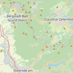
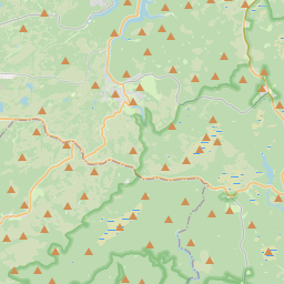
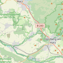
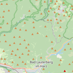
From Wikipedia
Auf dem Acker (commonly called the Acker) is a mountain ridge up to 865.1 m (2,838 ft) high, which is located in the southwestern part of the Harz mountains in Lower Saxony (Germany). The ridge begins south of the Bruchberg near Stieglitzecke (on the B 242) and runs from there for about 13 kilometres (8.1 mi) towards the southwest. For the first 6 kilometres (3.7 mi) its crest is continuously higher than 800 metres. Its southwestern foothills transition to the Harz Foreland at Osterode am Harz. Together with the Bruchberg, the Acker forms the Acker-Bruchberg Massif. Northwest of the ridge lies the valley of the River Söse and the Söse Reservoir, as well as the villages of Riefensbeek and Kamschlacken. South of the ridge lie the villages of Lonau and Sieber. The Hanskühnenburg lies roughly in the middle of the ridge at a height of 811 metres. Large sections of the ridge lie within the Harz National Park and may therefore only be entered on designated trails. Between the Hanskühnenburg and Stieglitzecke parts of the area around the crest consist of raised bog.
Text: Wikipédia, CC BY-SA 4.0. · Image: Waldmaus (CC BY-SA 3.0) ·