

Uncommon · Places
Awat County
County
Awat County (Uyghur: ئاۋات ناھىيىسى) is a county in Aksu Prefecture, Xinjiang Uyghur Autonomous Region, China. Awat County is located on the southern foot of the Tian Shan mountain range and on the northern edge of the Taklamakan Desert.
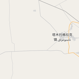
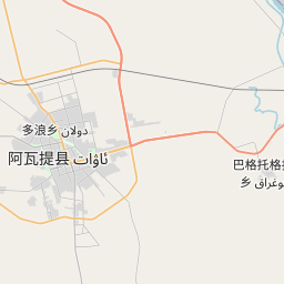
On the map
From Wikipedia
Awat County (Uyghur: ئاۋات ناھىيىسى) is a county in Aksu Prefecture, Xinjiang Uyghur Autonomous Region, China. Awat County is located on the southern foot of the Tian Shan mountain range and on the northern edge of the Taklamakan Desert. The term "Awat" translates from Uyghur to signify "prosperity". The region surrounding Awat County was formerly known as "Dolang," the ancestral home of the "Dolang people," an old Uyghur tribe. Subsequently, a significant influx of peasants settled in the region, resulting in a population surge, an expansion of cultivated land, and a daily transformation of the landscape, prompting the renaming to Awat. During the Han dynasty, it was part of Gumo. During the Tang dynasty, it was part of Gumo Prefecture. In 1883, Aksu Dao was established, with Awat falling under its control. In 1913, the area was part of the three, four, and five districts of Aksu County; in 1922, Awat County was established. Awat County was established in 1930, initially part of Aksu Dao, and subsequently became part of the Aksu District Administrator's Office in 1933.
Text: Wikipédia, CC BY-SA 4.0. · Image: Croquant (CC BY 3.0) ·