Ayodhya district
District of Uttar Pradesh, India
Ayodhya district (formerly Faizabad district) is one of the 75 districts in the northern Indian state of Uttar Pradesh. The city of Ayodhya is its administrative headquarters. The district occupies an area of 2,522 square kilometres (974 sq mi), and had a population of 2,470,996 in the 2011 census.
Nº Q1814132 ★
Common · Places
Ayodhya district
District of Uttar Pradesh, India
Ayodhya district (formerly Faizabad district) is one of the 75 districts in the northern Indian state of Uttar Pradesh. The city of Ayodhya is its administrative headquarters. The district occupies an area of 2,522 square kilometres (974 sq mi), and had a population of 2,470,996 in the 2011 census.
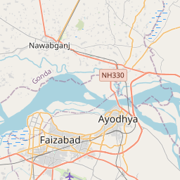
On the map
Last price
—
Floor price
—
7-day median
—
30-day sales
0
30-day range
—
In circulation
0
Price history
median
low – high
sales
No sales in this period
Show table
| Date | median | Low | High | sales |
|---|
Sales history
- Last sale
- —
- 30-day average
- —
- 30-day low
- —
- 30-day high
- —
- Sales 7d
- 0
- Sales 30d
- 0
No sales yet.
Anonymous sales: no buyer or seller shown. Figures count player-to-player sales only.
From Wikipedia
Ayodhya district (formerly Faizabad district) is one of the 75 districts in the northern Indian state of Uttar Pradesh. The city of Ayodhya is its administrative headquarters. The district occupies an area of 2,522 square kilometres (974 sq mi), and had a population of 2,470,996 in the 2011 census. Ayodhya district shares its borders with 6 districts of Uttar Pradesh. It is bordered by Gonda and Basti districts on the northern side, Amethi and Sultanpur districts on the south, and Ambedkar Nagar and Barabanki districts share the border on the east and west. The official name of the district was changed from Faizabad to Ayodhya in November 2018.
Text: Wikipédia, CC BY-SA 4.0. ·
Related cards

Ayodhya
City in Uttar Pradesh, India
Nº Q186040 ★★★

Faizabad
City in Uttar Pradesh, India
Nº Q842411 ★★

Basti district
District of Uttar Pradesh, India
Nº Q715267 ★★

Ambedkar Nagar district
District in Uttar Pradesh, India
Nº Q456764 ★★

Gonda district
District of Uttar Pradesh, India
Nº Q1937857 ★

Ayodhya Assembly constituency
Legislative assembly in Uttar Pradesh, India
Nº Q60744296 ★★★