

Uncommon · Places
Babliyeh
Village in South Governorate, Lebanon
Babliyeh (Arabic: بابلية, romanized: al-Bābliyah) is a municipality in the Sidon District in Lebanon. It is located 62 km southeast of Beirut, the capital of Lebanon. It rises about 200 m above sea level and extends over an area estimated at 1273 hectares.
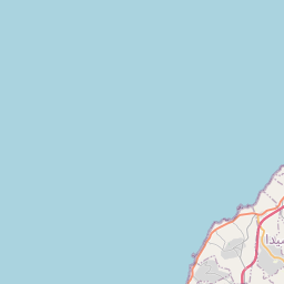
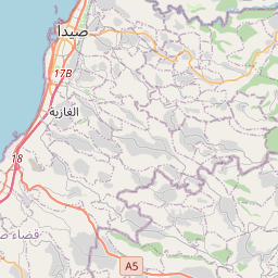
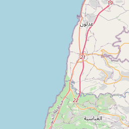
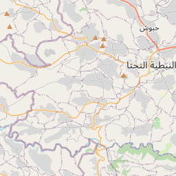
On the map
From Wikipedia
Babliyeh (Arabic: بابلية, romanized: al-Bābliyah) is a municipality in the Sidon District in Lebanon. It is located 62 km southeast of Beirut, the capital of Lebanon. It rises about 200 m above sea level and extends over an area estimated at 1273 hectares. In 1875, during the end of the Ottoman era, Victor Guérin visited and described the village (which he called Bablieh): "It is seated on a hill, north of a wadi, and contains 500 Metualis. The houses are very roughly built. I notice, in two small mosques half demolished, a number of beautiful stones of antique appearance. Large plantations of fig trees surround this village." In 2014, Muslims made up 99.34% of registered voters in Babliyeh. 98.29% of the voters were Shiite Muslims.
Text: Wikipédia, CC BY-SA 4.0. ·