
Bakony
Mountain range
Bakony (Hungarian pronunciation: [ˈbɒkoɲ]) is a mountainous region in Transdanubia, Hungary. It forms the largest part of the Transdanubian Mountains. It is located north of Lake Balaton and lies almost entirely in Veszprém county.
Nº Q695810 ★
Common · Places
Bakony
Mountain range
Bakony (Hungarian pronunciation: [ˈbɒkoɲ]) is a mountainous region in Transdanubia, Hungary. It forms the largest part of the Transdanubian Mountains. It is located north of Lake Balaton and lies almost entirely in Veszprém county.
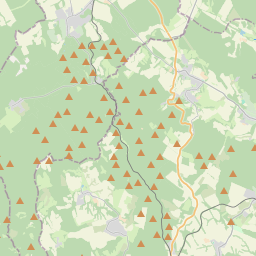
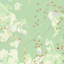
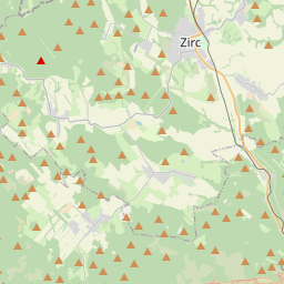
On the map

Last price
—
Floor price
—
7-day median
—
30-day sales
0
30-day range
—
In circulation
0
Price history
median
low – high
sales
No sales in this period
Show table
| Date | median | Low | High | sales |
|---|
Sales history
- Last sale
- —
- 30-day average
- —
- 30-day low
- —
- 30-day high
- —
- Sales 7d
- 0
- Sales 30d
- 0
No sales yet.
Anonymous sales: no buyer or seller shown. Figures count player-to-player sales only.
From Wikipedia
Bakony (Hungarian pronunciation: [ˈbɒkoɲ]) is a mountainous region in Transdanubia, Hungary. It forms the largest part of the Transdanubian Mountains. It is located north of Lake Balaton and lies almost entirely in Veszprém county. The Bakony is divided into the Northern and Southern Bakony through the Várpalota-Veszprém-Ajka-Devecser line. (706 m) high Kőris-hegy in the Northern Bakony is the highest peak of the range. Other high mountains are Som-hegy (649 m), Középső-Hajag (646 m), Öreg-Futóné (576 m) in the Northern Bakony, and Kab-hegy (599 m), Üsti-hegy (536 m) and Agár-tető (511 m) in Southern Bakony. Zirc is often called the Capital of the Bakony because it is located in the center of the Northern Bakony. The Bakony Museum is located there and introduces visitors to the animals, plants and minerals of the Bakony.
Text: Wikipédia, CC BY-SA 4.0. · Image: Pintye Dávid Győr Sóhivatal (CC BY-SA 3.0) ·
Related cards

Khamar-Daban
Mountain range in Russia
Nº Q942698 ★★★

Lake Balaton
Freshwater lake in Hungary
Nº Q6383 ★★★★★

Khentii Mountains
Mountain range in Mongolia
Nº Q748435 ★★

Transbaikal
Region in Russia
Nº Q644111 ★★★

Pontic Mountains
Mountain range in Turkey
Nº Q519263 ★★

North Hungarian Mountains
Mountain range
Nº Q1072077 ★★