

Common · Places
Bangoulap
Village in Cameroon
Village, West
Summary built from Wikidata data
On the map
From Wikipedia
Machine-translated from the French article
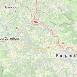
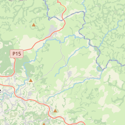
Bangoulap is a grouping of villages and a second-degree chiefdom in the commune of Bangangté, Ndé department, in the West Region of Cameroon, in Bamiléké country. Bangoulap is a village located at 1,480 m altitude on the departmental road D68, 7 km south of the communal seat Bangangté. The highest points are on the heights south of the village, the Tchuifet or Meneu (1,511 m) and Ntagni (1,475 m). Nanfam (1,299 m). At the beginning, this territory was occupied by the Djabouochou, Djamba, Djantakou, Djanso, Djansap and Feunhozi families.
Text: French Wikipedia, machine translation, CC BY-SA 4.0. · Image: Mouenthias (CC BY-SA 4.0) ·