


Beed district
District of Maharashtra, India
Beed district (Marathi pronunciation: [biːɖ]) is an administrative district in the state of Maharashtra in India. The district headquarters are located at Beed. The district occupies an area of 10,693 km2 and has a population of 2,161,250 of which 17.91% were urban (as of 2001).
Nº Q814037 ★
Common · Places
Beed district
District of Maharashtra, India
Beed district (Marathi pronunciation: [biːɖ]) is an administrative district in the state of Maharashtra in India. The district headquarters are located at Beed. The district occupies an area of 10,693 km2 and has a population of 2,161,250 of which 17.91% were urban (as of 2001).
On the map
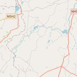
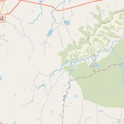
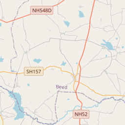
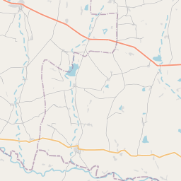
From Wikipedia
Beed district (Marathi pronunciation: [biːɖ]) is an administrative district in the state of Maharashtra in India. The district headquarters are located at Beed. The district occupies an area of 10,693 km2 and has a population of 2,161,250 of which 17.91% were urban (as of 2001).
Text: Wikipédia, CC BY-SA 4.0. · Image: Atozxyz (CC BY-SA 3.0) ·
Related cards
-

Beed
City in Maharashtra, India
Nº Q814033 ★
Not listed
-

Latur district
District of Maharashtra in India
Nº Q1948713 ★
Not listed
-

Solapur district
District in Maharashtra state of India
Nº Q1797263 ★
Not listed
-

Pune district
District of Maharashtra, India
Nº Q1797336 ★★
Not listed
-

Amravati district
District of Maharashtra, India
Nº Q1771774 ★
Not listed
-

Parli Vaijnath
City in India
Nº Q3785959 ★★
Not listed