
Bernese Oberland
Higher part of the canton of Bern, Switzerland
The Bernese Oberland (German: Berner Oberland [ˈbɛrnər ˈoːbərland]; Alemannic German: Bärner Oberland; French: Oberland bernois [obɛʁlɑ̃d bɛʁnwa]), sometimes also known as the Bernese Highlands, is the highest and southernmost part of the canton of Bern, in Switzerland. It is one of the canton's five administrative regions (in which context it is referred to as Oberland without further specification).
Nº Q475403 ★★★
Rare · Places
Bernese Oberland
Higher part of the canton of Bern, Switzerland
The Bernese Oberland (German: Berner Oberland [ˈbɛrnər ˈoːbərland]; Alemannic German: Bärner Oberland; French: Oberland bernois [obɛʁlɑ̃d bɛʁnwa]), sometimes also known as the Bernese Highlands, is the highest and southernmost part of the canton of Bern, in Switzerland. It is one of the canton's five administrative regions (in which context it is referred to as Oberland without further specification).
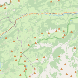
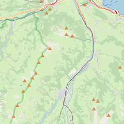
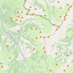
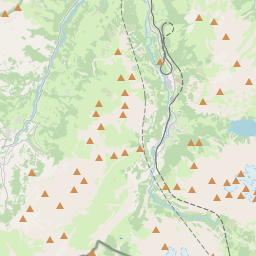
On the map
Last price
—
Floor price
—
7-day median
—
30-day sales
0
30-day range
—
In circulation
0
Price history
median
low – high
sales
No sales in this period
Show table
| Date | median | Low | High | sales |
|---|
Sales history
- Last sale
- —
- 30-day average
- —
- 30-day low
- —
- 30-day high
- —
- Sales 7d
- 0
- Sales 30d
- 0
No sales yet.
Anonymous sales: no buyer or seller shown. Figures count player-to-player sales only.
From Wikipedia
The Bernese Oberland (German: Berner Oberland [ˈbɛrnər ˈoːbərland]; Alemannic German: Bärner Oberland; French: Oberland bernois [obɛʁlɑ̃d bɛʁnwa]), sometimes also known as the Bernese Highlands, is the highest and southernmost part of the canton of Bern, in Switzerland. It is one of the canton's five administrative regions (in which context it is referred to as Oberland without further specification). It constitutes the Alpine region of the canton and the northern side of the Bernese Alps, including many of its highest peaks, among which the Finsteraarhorn (4,274 m (14,022 ft)), the highest in both range and canton. The region essentially coincides with the upper basin of the Aare, the latter notably including Lake Thun and Lake Brienz, the two large lakes of the region. On the banks of the lakes or the Aare are the main settlements of Thun, Spiez, Interlaken, Brienz and Meiringen. The numerous side valleys of the Bernese Oberland include a large number of Alpine villages, many of them being tourist resorts and connected by mountain railways to Spiez and Interlaken. The Lötschberg, a major north-south axis through the Alps, links the region with both the capital of the canton, Bern, and its sizable southern neighbour, the canton of Valais. The flag of the Bernese Oberland consists of a black eagle in a gold field (in reference to the region's old status as reichsfrei) over two fields in the cantonal colours of red and black. The Swiss German dialects spoken in the Bernese Oberland are Highest Alemannic German, contrasting with the High Alemannic Bernese German spoken in Bern and the northern parts of the canton. In the short-lived Helvetic Republic (1798–1803), the Bernese Oberland was a separate canton.
Text: Wikipédia, CC BY-SA 4.0. · Image: Countdan (CC BY-SA 4.0) ·
Related cards

Piz Bernina
Mountain of the Eastern Alps
Nº Q15132 ★★★★

Bernese Alps
Part of the Alps mountain range in Switzerland
Nº Q327221 ★★★

Great St Bernard Pass
Mountain pass in the Western Alpes
Nº Q623424 ★★★★

Eiger
Mountain in the Bernese Alps, Switzerland
Nº Q4425 ★★★★

San Bernardino Pass
Mountain pass
Nº Q629324 ★★★★

Lake Thun
Lake in the canton of Bern, Switzerland
Nº Q14426 ★★★★