
Bo'ness
Town in the Falkirk council area of Scotland, UK
Borrowstounness, commonly known as Bo'ness ( boh-NESS), is a town and former burgh and seaport on the south bank of the Firth of Forth in the Central Lowlands of Scotland. Historically part of the county of West Lothian, it now lies within the Falkirk council area, 17 miles (27 kilometres) northwest of Edinburgh and 6+3⁄4 miles (11 kilometres) east of Falkirk.
Nº Q896424 ★
Common · Places
Bo'ness
Town in the Falkirk council area of Scotland, UK
Borrowstounness, commonly known as Bo'ness ( boh-NESS), is a town and former burgh and seaport on the south bank of the Firth of Forth in the Central Lowlands of Scotland. Historically part of the county of West Lothian, it now lies within the Falkirk council area, 17 miles (27 kilometres) northwest of Edinburgh and 6+3⁄4 miles (11 kilometres) east of Falkirk.
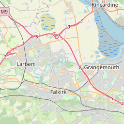
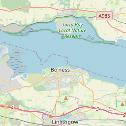
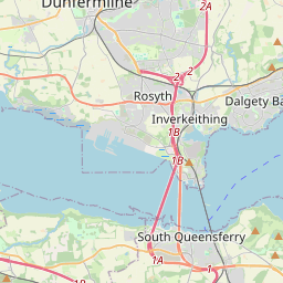
On the map
Last price
—
Floor price
—
7-day median
—
30-day sales
0
30-day range
—
In circulation
0
Price history
median
low – high
sales
No sales in this period
Show table
| Date | median | Low | High | sales |
|---|
Sales history
- Last sale
- —
- 30-day average
- —
- 30-day low
- —
- 30-day high
- —
- Sales 7d
- 0
- Sales 30d
- 0
No sales yet.
Anonymous sales: no buyer or seller shown. Figures count player-to-player sales only.
From Wikipedia
Borrowstounness, commonly known as Bo'ness ( boh-NESS), is a town and former burgh and seaport on the south bank of the Firth of Forth in the Central Lowlands of Scotland. Historically part of the county of West Lothian, it now lies within the Falkirk council area, 17 miles (27 kilometres) northwest of Edinburgh and 6+3⁄4 miles (11 kilometres) east of Falkirk. At the 2011 census, the population of Bo'ness was 15,100. Until the 20th century, Bo'ness was the site of various industrial activities, including coal mining, saltmaking and pottery production. With its location beside the Forth, the town and its harbour grew in importance in the Industrial Revolution and later continued to grow into the Victorian era. Since the late 20th century, deindustrialisation has changed the nature of the town, with the coal mine closing in 1982 and the waterfront area now being primarily used for leisure purposes. However, some industry remains in the town including an ironworks and a timberyard/sawmill beside the Forth. The centre of the town contains several listed buildings and is part of a conservation area. The town is the home of the Museum of Scottish Railways and also a regional motor museum.
Text: Wikipédia, CC BY-SA 4.0. · Image: Chris Downer (CC BY-SA 2.0) ·
Related cards

West Lothian
Scottish council area
Nº Q204940 ★★

Lothian
Former local government region of Scotland
Nº Q642024 ★★

Barrow-in-Furness
Town and seaport in Westmorland and Furness, Cumbria, England, United Kingdom
Nº Q671892 ★★★

East Lothian
Council area of Scotland; lieutenancy area
Nº Q207257 ★★

Falkirk
Town in Falkirk, Scotland, UK
Nº Q623687 ★★★

North Berwick
Town in East Lothian, Scotland, UK
Nº Q1012054 ★★