
Brebes (town)
District in Brebes Regency, Central Java Province, Indonesia
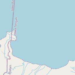
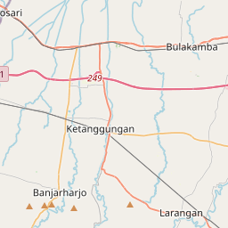
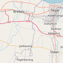
Brebes District is an administrative district (Indonesian: Kecamatan) containing the capital of Brebes Regency, in Central Java Province of Indonesia. It is bordered by the Java Sea to the north (the coastal desa of Randusanga Kulon including the lower reaches and mouth of the Pemali River), by Tegal City (West Tegal District and Margadana District) and Tegal Regency (Dukuhturi District and Adiwerna District) to the east, by Jatibarang District to the south and by Wanasari District to the west.
Nº Q3818071 ★★★
Rare · Places
Brebes (town)
District in Brebes Regency, Central Java Province, Indonesia
Brebes District is an administrative district (Indonesian: Kecamatan) containing the capital of Brebes Regency, in Central Java Province of Indonesia. It is bordered by the Java Sea to the north (the coastal desa of Randusanga Kulon including the lower reaches and mouth of the Pemali River), by Tegal City (West Tegal District and Margadana District) and Tegal Regency (Dukuhturi District and Adiwerna District) to the east, by Jatibarang District to the south and by Wanasari District to the west.
On the map
Last price
—
Floor price
—
7-day median
—
30-day sales
0
30-day range
—
In circulation
0
Price history
median
low – high
sales
No sales in this period
Show table
| Date | median | Low | High | sales |
|---|
Sales history
- Last sale
- —
- 30-day average
- —
- 30-day low
- —
- 30-day high
- —
- Sales 7d
- 0
- Sales 30d
- 0
No sales yet.
Anonymous sales: no buyer or seller shown. Figures count player-to-player sales only.
From Wikipedia
Brebes District is an administrative district (Indonesian: Kecamatan) containing the capital of Brebes Regency, in Central Java Province of Indonesia. It is bordered by the Java Sea to the north (the coastal desa of Randusanga Kulon including the lower reaches and mouth of the Pemali River), by Tegal City (West Tegal District and Margadana District) and Tegal Regency (Dukuhturi District and Adiwerna District) to the east, by Jatibarang District to the south and by Wanasari District to the west. It covers 92.23 km2 and had a population of 157,149 at the 2010 Census and 182,421 at the 2020 Census; the official estimate as at end 2023 was 189,721.
Text: Wikipédia, CC BY-SA 4.0. · Image: Snapesss (CC BY-SA 4.0) ·
Related cards

Brebes Regency
Regency in Central Java Province, Indonesia
Nº Q10610 ★★★★★

Larangan, Brebes
District in Brebes Regency, Central Java Province, Indonesia
Nº Q3818327 ★★★

Tanjung, Brebes
District in Brebes Regency, Central Java Province, Indonesia
Nº Q3818618 ★★★

Ketanggungan, Brebes
District in Brebes Regency, Central Java Province, Indonesia
Nº Q3818291 ★★★

Tonjong, Brebes
District in Brebes Regency, Central Java Province, Indonesia
Nº Q3818701 ★★★

Paguyangan, Brebes
District in Brebes Regency, Central Java Province, Indonesia
Nº Q3818402 ★★★