
Bronx River
River in the U.S. state of New York
The Bronx River () is a river approximately 24 miles (39 km) long, flowing through southeastern New York in the United States and draining an area of 38.4 square miles (99 km2). It is named after colonial settler Jonas Bronck.
Nº Q928157 ★★
Uncommon · Places
Bronx River
River in the U.S. state of New York
The Bronx River () is a river approximately 24 miles (39 km) long, flowing through southeastern New York in the United States and draining an area of 38.4 square miles (99 km2). It is named after colonial settler Jonas Bronck.
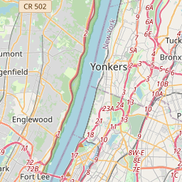
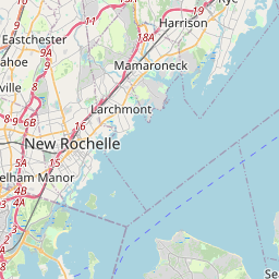
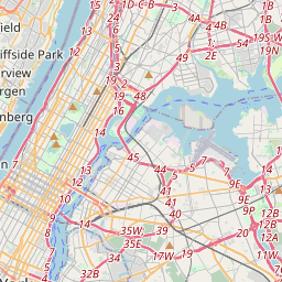
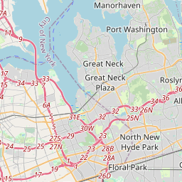
On the map
Last price
—
Floor price
—
7-day median
—
30-day sales
0
30-day range
—
In circulation
0
Price history
median
low – high
sales
No sales in this period
Show table
| Date | median | Low | High | sales |
|---|
Sales history
- Last sale
- —
- 30-day average
- —
- 30-day low
- —
- 30-day high
- —
- Sales 7d
- 0
- Sales 30d
- 0
No sales yet.
Anonymous sales: no buyer or seller shown. Figures count player-to-player sales only.
From Wikipedia
The Bronx River () is a river approximately 24 miles (39 km) long, flowing through southeastern New York in the United States and draining an area of 38.4 square miles (99 km2). It is named after colonial settler Jonas Bronck. It originally rose in what is now the Kensico Reservoir, in Westchester County north of New York City, on a hill about 650 feet (200 m) above sea level in what is now New Castle, New York. The river originated in an area the Weckquasgeek called Quaropes, which means White Marshes. It was fed by the Fulton Brook, Manhattan Park Brook, Davis Brook, and Tompkins Brook. With the construction of the Kensico Dam in 1885, however, the river was cut off from its natural headwaters and today a small tributary stream originating from the reservoir is its source. The Bronx River flows south past White Plains, then south-southwest through the northern suburbs in New York, passing through Edgemont, Tuckahoe, Eastchester, and Bronxville. In the area known as the Aquehung, it is fed by Harts Brook and the north and south Fox Meadow Brooks. At Tuckahoe, it is fed by Troublesome Brook. At Bronxville, it is fed by Sprain Brook, its longest tributary system, which originates at Greenburgh Town Park. The river divides Westchester County into eastern and western areas, forming the border between the large cities of Yonkers and Mount Vernon, and flows into the northern end of the Bronx, where it divides East Bronx from West Bronx, southward through Bronx Park, New York Botanical Garden, and the Bronx Zoo and continues through neighborhoods of the South Bronx. It empties into the East River, a tidal strait connected to Long Island Sound, between the Soundview and Hunts Point neighborhoods.
Text: Wikipédia, CC BY-SA 4.0. · Image: Jim.henderson (Public domain) ·
Related cards

The Bronx
Borough of New York City, New York, United States
Nº Q18426 ★★★★

Hoosic River
River in Rensselaer County, N.Y., USA
Nº Q1133035 ★★

East River
Tidal strait in New York City
Nº Q212862 ★★★

Hudson River
River in New York State, United States
Nº Q3140 ★★★★

Bronx–Whitestone Bridge
Bridge in New York City
Nº Q125543 ★

Potomac River
River in the mid-Atlantic United States
Nº Q179444 ★★★