

Common · Places
Bukit Panjang
Planning area in Singapore
Bukit Panjang ( BUUK-it PAHN-jahng) is a planning area and residential town located in the West Region of Singapore. A portion of this town is situated on a low-lying elongated hill.
On the map
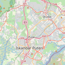
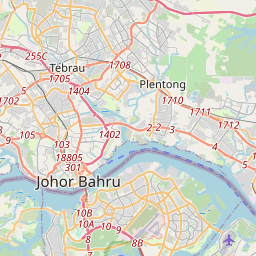
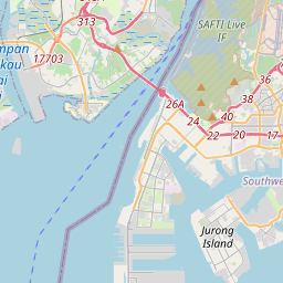
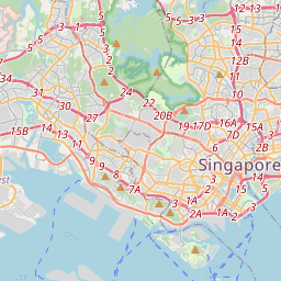
From Wikipedia
Bukit Panjang ( BUUK-it PAHN-jahng) is a planning area and residential town located in the West Region of Singapore. A portion of this town is situated on a low-lying elongated hill. The planning area is bounded by Bukit Batok to the west, Choa Chu Kang to the northwest, Sungei Kadut to the north, the Central Water Catchment to the east, and Bukit Timah to the south. Bukit Panjang New Town is located at the northern portion of the planning area. Bukit Panjang has an average elevation of 36m/118 ft. The town is categorised into seven subzones, namely Jelebu, Bangkit, Fajar, Saujana, Senja, Dairy Farm, and Nature Reserve.
Text: Wikipédia, CC BY-SA 4.0. · Image: mailer_diablo (CC BY-SA 3.0) ·
Related cards
-
 ★
★
Bukit Batok
Urban planning area and satellite residential town in the western part of Singapore
-
 ★
★
Choa Chu Kang
Residential town, west of Singapore
-
 ★
★
Bukit Timah
Planning area and residential estate in Central Region, Singapore
-
 ★
★
Tengah, Singapore
Planning area and future HDB town in Singapore
-
 ★
★
Lim Chu Kang
Planning area in North Region, Singapore
-
 ★
★
Bedok
Planning area and residential town in East Region of Singapore