
Burzyansky District
Municipal district in Bashkiria, Russia
Burzyansky District (Russian: Бурзя́нский райо́н; Bashkir: Бөрйән районы, Böryän rayonı) is an administrative and municipal district (raion), one of the fifty-four in the Republic of Bashkortostan, Russia. It is located in the south of the republic and borders with Beloretsky District in the north, Abzelilovsky District in the east, Baymaksky District in the southeast, Zilairsky District in the south, Kugarchinsky District in the southwest, Meleuzovsky District in the west, and with Ishimbaysky District in the west and northwest.
Nº Q852243 ★★★
Rare · Places
Burzyansky District
Municipal district in Bashkiria, Russia
Burzyansky District (Russian: Бурзя́нский райо́н; Bashkir: Бөрйән районы, Böryän rayonı) is an administrative and municipal district (raion), one of the fifty-four in the Republic of Bashkortostan, Russia. It is located in the south of the republic and borders with Beloretsky District in the north, Abzelilovsky District in the east, Baymaksky District in the southeast, Zilairsky District in the south, Kugarchinsky District in the southwest, Meleuzovsky District in the west, and with Ishimbaysky District in the west and northwest.
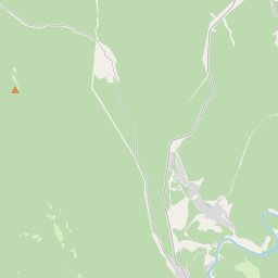
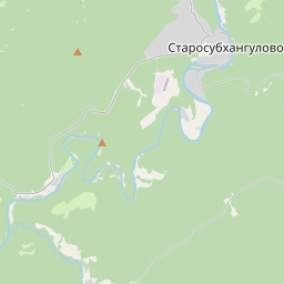
On the map
Last price
—
Floor price
—
7-day median
—
30-day sales
0
30-day range
—
In circulation
0
Price history
median
low – high
sales
No sales in this period
Show table
| Date | median | Low | High | sales |
|---|
Sales history
- Last sale
- —
- 30-day average
- —
- 30-day low
- —
- 30-day high
- —
- Sales 7d
- 0
- Sales 30d
- 0
No sales yet.
Anonymous sales: no buyer or seller shown. Figures count player-to-player sales only.
From Wikipedia
Burzyansky District (Russian: Бурзя́нский райо́н; Bashkir: Бөрйән районы, Böryän rayonı) is an administrative and municipal district (raion), one of the fifty-four in the Republic of Bashkortostan, Russia. It is located in the south of the republic and borders with Beloretsky District in the north, Abzelilovsky District in the east, Baymaksky District in the southeast, Zilairsky District in the south, Kugarchinsky District in the southwest, Meleuzovsky District in the west, and with Ishimbaysky District in the west and northwest. The area of the district is 4,444 square kilometers (1,716 sq mi). Its administrative center is the rural locality (a selo) of Starosubkhangulovo. As of the 2010 Census, the total population of the district was 16,698, with the population of Starosubkhangulovo accounting for 27.6% of that number.
Text: Wikipédia, CC BY-SA 4.0. · Image: Зөлхизә (CC BY-SA 4.0) ·
Related cards

Beloretsky District
Municipal district in Russia
Nº Q792513 ★★★

Ishimbaysky District
Municipal district in Bashkiria, Russia
Nº Q1092758 ★★

Bakalinsky District
Municipal district in Russia
Nº Q788939 ★★

Zianchurinsky District
Municipal district in Russia
Nº Q1094414 ★★

Uchalinsky District
Municipal district in Russia
Nº Q1194661 ★★
Ilishevsky District
Municipal district in Russia
Nº Q1092770 ★★