
Calanda (mountain)
Mountain in the Glarus Alps
The Calanda is a mountain (more precisely, a massif) in the Glarus Alps with two main peaks: Haldensteiner Calanda (2,805 m [9,203 ft]) and Felsberger Calanda (2,697 m [8,848 ft]), both located on the border between the cantons of St. Gallen and the Grisons (Graubünden) in eastern Switzerland. It looms over Chur, the capital city of the Grisons.
Nº Q16529 ★★
Uncommon · Places
Calanda (mountain)
Mountain in the Glarus Alps
The Calanda is a mountain (more precisely, a massif) in the Glarus Alps with two main peaks: Haldensteiner Calanda (2,805 m [9,203 ft]) and Felsberger Calanda (2,697 m [8,848 ft]), both located on the border between the cantons of St. Gallen and the Grisons (Graubünden) in eastern Switzerland. It looms over Chur, the capital city of the Grisons.
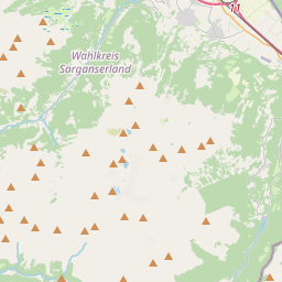
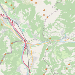
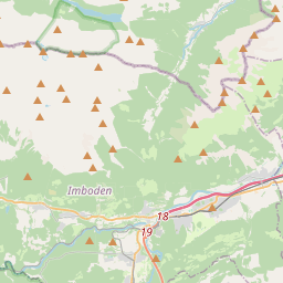
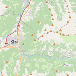
On the map
Last price
—
Floor price
—
7-day median
—
30-day sales
0
30-day range
—
In circulation
0
Price history
median
low – high
sales
No sales in this period
Show table
| Date | median | Low | High | sales |
|---|
Sales history
- Last sale
- —
- 30-day average
- —
- 30-day low
- —
- 30-day high
- —
- Sales 7d
- 0
- Sales 30d
- 0
No sales yet.
Anonymous sales: no buyer or seller shown. Figures count player-to-player sales only.
From Wikipedia
The Calanda is a mountain (more precisely, a massif) in the Glarus Alps with two main peaks: Haldensteiner Calanda (2,805 m [9,203 ft]) and Felsberger Calanda (2,697 m [8,848 ft]), both located on the border between the cantons of St. Gallen and the Grisons (Graubünden) in eastern Switzerland. It looms over Chur, the capital city of the Grisons. Although Felsberger Calanda's topographic prominence is 286 metres (938 ft)—enough for it to possibly be considered a mountain in its own right—the massif is commonly said to be one mountain with several peaks. The Calanda lies between the valleys of the Alpine Rhine (to the southeast) and the Tamina (to the northwest). It is separated from the Ringelspitz by the Kunkels Pass. Calanda's secondary peaks are called Rossfallenspitz and Güllenchopf, whereas Berger Calanda and Taminser Calanda are less prominent points that mark the ends of the main ridge. The shallow southeastern slopes lie in the Grisons, within the municipalities of Mastrils, Untervaz, Haldenstein, Felsberg and Tamins, whereas most of the steeper slopes on the northwest lie in the Canton of St. Gallen, in the municipality of Pfäfers. On the northerly plateau of Felsberger Calanda, ibexes are regularly seen. At Felsberg, the locally produced wine is called Goldene Sonne ("Golden Sun"), a reminder of a gold mine in the southern face of Calanda.
Text: Wikipédia, CC BY-SA 4.0. · Image: Adrian Michael (CC BY-SA 3.0) ·
Related cards
-

Glarus Alps
Mountain range
Nº Q327218 ★★★
Not listed
-

Piz Sardona
Mountain
Nº Q668503 ★
Not listed
-

Tödi
Highest mountain in the Glarus Alps
Nº Q15134 ★★★
Not listed
-

Ringelspitz
Mountain of the Glarus Alps
Nº Q15137 ★★
Not listed
-

Bristen
Mountain
Nº Q43299 ★★
Not listed
-

Churfirsten
Mountain range in Switzerland
Nº Q16547 ★★★★
Not listed