
Carrizo Plain
Grassland area in San Luis Obispo County, California
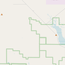
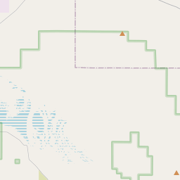
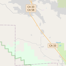
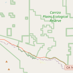
The Carrizo Plain (Obispeño: tšɨłkukunɨtš, "Place of the rabbits") is a large enclosed grassland plain, approximately 50 miles (80 km) long and up to 15 miles (24 km) across, in southeastern San Luis Obispo County, California, United States, about 100 miles (160 km) northwest of Los Angeles. The southern portion of the Carrizo Plain is within the 246,812-acre (99,881 ha) Carrizo Plain National Monument, which also includes most of the Caliente Range.
Nº Q1045112 ★
Common · Places
Carrizo Plain
Grassland area in San Luis Obispo County, California
The Carrizo Plain (Obispeño: tšɨłkukunɨtš, "Place of the rabbits") is a large enclosed grassland plain, approximately 50 miles (80 km) long and up to 15 miles (24 km) across, in southeastern San Luis Obispo County, California, United States, about 100 miles (160 km) northwest of Los Angeles. The southern portion of the Carrizo Plain is within the 246,812-acre (99,881 ha) Carrizo Plain National Monument, which also includes most of the Caliente Range.
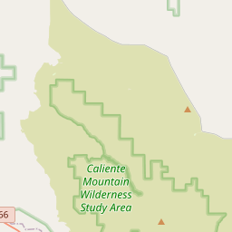
On the map
Last price
—
Floor price
—
7-day median
—
30-day sales
0
30-day range
—
In circulation
0
Price history
median
low – high
sales
No sales in this period
Show table
| Date | median | Low | High | sales |
|---|
Sales history
- Last sale
- —
- 30-day average
- —
- 30-day low
- —
- 30-day high
- —
- Sales 7d
- 0
- Sales 30d
- 0
No sales yet.
Anonymous sales: no buyer or seller shown. Figures count player-to-player sales only.
From Wikipedia
The Carrizo Plain (Obispeño: tšɨłkukunɨtš, "Place of the rabbits") is a large enclosed grassland plain, approximately 50 miles (80 km) long and up to 15 miles (24 km) across, in southeastern San Luis Obispo County, California, United States, about 100 miles (160 km) northwest of Los Angeles. The southern portion of the Carrizo Plain is within the 246,812-acre (99,881 ha) Carrizo Plain National Monument, which also includes most of the Caliente Range. The Carrizo Plain is the largest single native grassland remaining in California. It includes Painted Rock in the Carrizo Plain Rock Art Discontiguous District, which is listed on the National Register of Historic Places. In 2012, it was further designated a National Historic Landmark for its archaeological value. The San Andreas Fault occurs along the eastern edge of the Carrizo Plain at the western base of the Temblor Range.
Text: Wikipédia, CC BY-SA 4.0. · Image: John Wiley User:Jw4nvc - Santa Barbara, California (CC BY 3.0) ·
Related cards

Grass Valley, California
City in Nevada County, California, United States
Nº Q834337 ★★

Sierra Nevada
Mountain range in California and Nevada in the United States
Nº Q26777 ★★★

Arroyo Grande, California
City in San Luis Obispo County, California, United States
Nº Q703206 ★★

California City, California
City in Kern County, California, United States
Nº Q732125 ★★

Big Sur
Region in Monterey County, California, United States
Nº Q859413 ★★★★

Santa Clarita, California
City in Los Angeles County, California, USA
Nº Q491132 ★★★