
Cauca Department
Department of Colombia
Cauca Department (Spanish pronunciation: [ˈkawka], Spanish: Departamento del Cauca) is a department of Southwestern Colombia. Located in the southwestern part of the country, facing the Pacific Ocean to the west, the Valle del Cauca Department to the north, Tolima Department to the northeast, Huila Department to the east, and Nariño Department to the south.
Nº Q230602 ★★★★
Super Rare · Places
Cauca Department
Department of Colombia
Cauca Department (Spanish pronunciation: [ˈkawka], Spanish: Departamento del Cauca) is a department of Southwestern Colombia. Located in the southwestern part of the country, facing the Pacific Ocean to the west, the Valle del Cauca Department to the north, Tolima Department to the northeast, Huila Department to the east, and Nariño Department to the south.
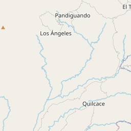
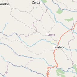
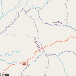
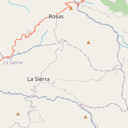
On the map
Last price
—
Floor price
—
7-day median
—
30-day sales
0
30-day range
—
In circulation
0
Price history
median
low – high
sales
No sales in this period
Show table
| Date | median | Low | High | sales |
|---|
Sales history
- Last sale
- —
- 30-day average
- —
- 30-day low
- —
- 30-day high
- —
- Sales 7d
- 0
- Sales 30d
- 0
No sales yet.
Anonymous sales: no buyer or seller shown. Figures count player-to-player sales only.
From Wikipedia
Cauca Department (Spanish pronunciation: [ˈkawka], Spanish: Departamento del Cauca) is a department of Southwestern Colombia. Located in the southwestern part of the country, facing the Pacific Ocean to the west, the Valle del Cauca Department to the north, Tolima Department to the northeast, Huila Department to the east, and Nariño Department to the south. Putumayo and Caqueta Departments border the southeast portion of Cauca Department as well. It covers a total area of 29,308 km2 (11,316 sq mi), the 13th largest in Colombia. Its capital is the city of Popayán. The offshore island of Malpelo belongs to the department. It is located in the southwest of the country, mainly in the Andean and Pacific regions (between 0°58′54″N and 3°19′04″N latitude, 75°47′36″W and 77°57′05″W longitude) plus a tiny part (Piamonte) in the Amazonian region. The area makes up 2.56% of the country.
Text: Wikipédia, CC BY-SA 4.0. · Image: Wikimedia Commons (CC BY-SA 3.0) ·
Related cards

Chocó Department
Department of Colombia
Nº Q230584 ★★★★★★

López de Micay
Municipality of the department of Cauca in Colombia
Nº Q2297415 ★★

Cáqueza
Colombian municipality of the department of Cundinamarca
Nº Q577538 ★★★

Atlántico Department
Department of Colombia
Nº Q230882 ★★★★

Boyacá Department
Department of Colombia
Nº Q121233 ★★★★

Cesar Department
Department of Colombia
Nº Q234916 ★★★★