
Chamoli district
District of Uttarakhand, India
Chamoli district is a district of the Uttarakhand state of India. It is bounded by Tibet to the north, and by the Uttarakhand districts of Pithoragarh and Bageshwar to the east, Almora to the south, Pauri Garhwal to the southwest, Rudraprayag to the west, and Uttarkashi to the northwest.
Nº Q1797372 ★★
Uncommon · Places
Chamoli district
District of Uttarakhand, India
Chamoli district is a district of the Uttarakhand state of India. It is bounded by Tibet to the north, and by the Uttarakhand districts of Pithoragarh and Bageshwar to the east, Almora to the south, Pauri Garhwal to the southwest, Rudraprayag to the west, and Uttarkashi to the northwest.
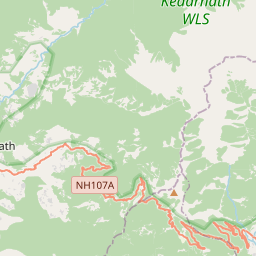
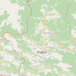
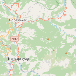
On the map
Last price
—
Floor price
—
7-day median
—
30-day sales
0
30-day range
—
In circulation
0
Price history
median
low – high
sales
No sales in this period
Show table
| Date | median | Low | High | sales |
|---|
Sales history
- Last sale
- —
- 30-day average
- —
- 30-day low
- —
- 30-day high
- —
- Sales 7d
- 0
- Sales 30d
- 0
No sales yet.
Anonymous sales: no buyer or seller shown. Figures count player-to-player sales only.
From Wikipedia
Chamoli district is a district of the Uttarakhand state of India. It is bounded by Tibet to the north, and by the Uttarakhand districts of Pithoragarh and Bageshwar to the east, Almora to the south, Pauri Garhwal to the southwest, Rudraprayag to the west, and Uttarkashi to the northwest. The administrative headquarters of Chamoli district is in Gopeshwar. Chamoli hosts a variety of destinations of pilgrim and tourist interest including Badrinath, Hemkund Sahib and Valley of Flowers. The Chipko movement was first started in Chamoli.
Text: Wikipédia, CC BY-SA 4.0. · Image: Shitha Valsan (CC BY-SA 4.0) ·
Related cards

Kumaon division
Administrative division of Uttarakhand, India
Nº Q2299057 ★★

Almora district
District of Uttarakhand, India
Nº Q1805066 ★

Mana, Chamoli
Village in Uttarakhand, India
Nº Q12446313 ★★

Pauri Garhwal district
District of Uttarakhand, India
Nº Q2085474 ★★

Shamli district
District of Uttar Pradesh in India
Nº Q2999938 ★

Udham Singh Nagar district
District of Uttarakhand, India
Nº Q1805082 ★