

Common · Places
Charlbury
Town and civil parish in West Oxfordshire, England, UK
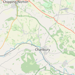
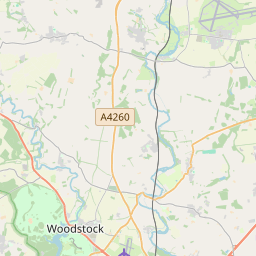
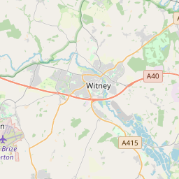
Charlbury () is a town and civil parish in the Evenlode valley, about 6 miles (10 km) north of Witney in the West Oxfordshire district of Oxfordshire, England. It is on the edge of Wychwood Forest and the Cotswolds. The 2011 Census recorded the parish's population as 2,830.
Read more
Charlbury (/ˈtʃɑːrlbəri, ˈtʃɔːrl-/) is a town and civil parish in the Evenlode valley, about 6 miles (10 km) north of Witney in the West Oxfordshire district of Oxfordshire, England. It is on the edge of Wychwood Forest and the Cotswolds. The 2011 Census recorded the parish's population as 2,830. Toponymic evidence suggests that Charlbury was an Anglo-Saxon settlement from an early date, and may be associated with 'Faerpinga in Middelenglum' listed in the Tribal Hidage of the 7th to 9th centuries. The name is a compound of two Old English elements. Burh is a fortified place. Ceorl (probably pronounced /tʃɔrl/) is a "freeman of the lowest class", but other sources suggest it was also a personal name. For this reason some hold the latter two pronunciations more valid than the former, and the current spelling not phonetic, preferring "Chorlbury". The similarity between "Ceorl" and the personal name Charles is no accident: "Charles", "ceorl" and "churl", along with the modern German name Karl derive from the same Proto-Germanic word *karlaz. Lee Place (Grade II* listed), the former dower house of Ditchley is the home of Rosita Spencer-Churchill, Duchess of Marlborough.
On the map
Text: Wikipédia, CC BY-SA 4.0. · Image: Philip Halling (CC BY-SA 2.0) ·