
Cherni Vrah
The fourth highest mountain summit in Bulgaria
Cherni Vrah (Bulgarian: Черни връх [ˈt͡ʃɛrni vrɤx], "Black Peak") is the summit of Vitosha Mountain in Bulgaria. Rising to 2290 m, the peak is the fourth highest mountain summit in the country after Musala (2925 m, Rila Mountain), Vihren (2914 m, Pirin Mountain), and Botev Vrah (2376 m, Balkan Range).
Nº Q849657 ★
Common · Places
Cherni Vrah
The fourth highest mountain summit in Bulgaria
Cherni Vrah (Bulgarian: Черни връх [ˈt͡ʃɛrni vrɤx], "Black Peak") is the summit of Vitosha Mountain in Bulgaria. Rising to 2290 m, the peak is the fourth highest mountain summit in the country after Musala (2925 m, Rila Mountain), Vihren (2914 m, Pirin Mountain), and Botev Vrah (2376 m, Balkan Range).
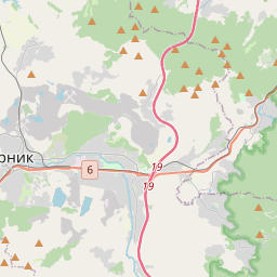
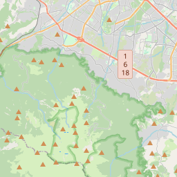
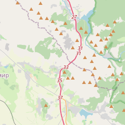
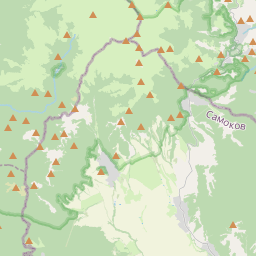
On the map
Last price
—
Floor price
—
7-day median
—
30-day sales
0
30-day range
—
In circulation
0
Price history
median
low – high
sales
No sales in this period
Show table
| Date | median | Low | High | sales |
|---|
Sales history
- Last sale
- —
- 30-day average
- —
- 30-day low
- —
- 30-day high
- —
- Sales 7d
- 0
- Sales 30d
- 0
No sales yet.
Anonymous sales: no buyer or seller shown. Figures count player-to-player sales only.
From Wikipedia
Cherni Vrah (Bulgarian: Черни връх [ˈt͡ʃɛrni vrɤx], "Black Peak") is the summit of Vitosha Mountain in Bulgaria. Rising to 2290 m, the peak is the fourth highest mountain summit in the country after Musala (2925 m, Rila Mountain), Vihren (2914 m, Pirin Mountain), and Botev Vrah (2376 m, Balkan Range). Cherni Vrah is bounded to the northwest by Torfeno Branishte (Turf Nature Reserve) which — like the extensive adjacent territory to the south — is a no-go drinking water catchment area. Several major stone rivers are situated in the peak's vicinity, occupying the upper courses of Vladayska and Boyanska Rivers to the north, and Struma River to the south. The peak is part of the water divide between Black Sea and Mediterranean Sea, its northern slopes draining into Iskar River, and eventually into Danube River and Black Sea, and the southern slopes draining into Matnitsa River, flowing in turn into Struma River and Aegean Sea. Cherni Vrah hosts a weather station built in 1935, one year after the mountain became the oldest national park on the Balkans. The station provides refuge in bad weather (no tourist accommodation though), and has a well supplied cafeteria offering hot meals. A Mountain Rescue Service team is based on the peak too. The nearest mountain chalets are Aleko Chalet situated 3 km to the north-northeast (1810 m, major ski and snowboard centre accessible by gondola lift from Simeonovo, Sofia), and Kumata Chalet (1725 m) situated 5.5 km to the northwest. Ski paths link Cherni Vrah to Aleko and Kumata areas in winter, and a ski run on the northern slope of the peak itself is served by a 600-m surface lift. With its annual average wind speed of 9.3 m/s Cherni Vrah is the second most windy peak in Bulgaria after Murgash Peak in...
Text: Wikipédia, CC BY-SA 4.0. · Image: Tanasy (CC BY-SA 4.0) ·
Related cards

Musala
Highest mountain of the Balkans in Bulgaria
Nº Q209341 ★★★

Pirin Mountains
Mountain range in southwestern Bulgaria
Nº Q726158 ★★

Rila
Mountain range in Bulgaria
Nº Q191795 ★★

Smolyan
City in Smolyan municipality, Smolyan oblast, Bulgaria
Nº Q192888 ★★

Botev Peak
Peak in Bulgaria
Nº Q894703 ★

Balkan Mountains
Mountain range in the eastern part of the Balkan Peninsula
Nº Q170427 ★★★