

Common · Places
Chernushinsky District
Municipal district in Russia
Chernushinsky District (Russian: Черну́шинский райо́н) is an administrative district (raion) of Perm Krai, Russia; one of the thirty-three in the krai. Municipally, it is incorporated as Chernushinsky Municipal District.
Read more
It is located in the south of the krai and borders with Uinsky District in the north, Oktyabrsky District in the east, the Republic of Bashkortostan in the south, Kuyedinsky District in the west, and with Bardymsky District in the northwest. The area of the district is 1,676 square kilometers (647 sq mi). Its administrative center is the town of Chernushka. Population: 50,593 (2010 census); 53,746 (2002 census); 51,743 (1989 Soviet census). The population of Chernushka accounts for 65.8% of the district's total population. The district stretches for 54 kilometers (34 mi) from north to south and for approximately 56 kilometers (35 mi) from east to west. Geologically, it is located on the eastern outskirts of the East European craton. District's landscape is mostly flat with some hills.
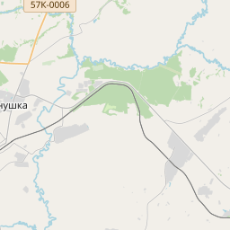
On the map
Text: Wikipédia, CC BY-SA 4.0. · Image: AndreyIGOSHEV (Public domain) ·