
Chichicastenango
Municipality of Quiché department, Guatemala
Chichicastenango, also known as Santo Tomás Chichicastenango, is a town, with a population of 71,394 (2018 census), and the municipal seat for the surrounding municipality of the same name in the El Quiché department of Guatemala. Situated on a high-altitude plateau of the Guatemalan Highlands at an elevation of 1,965 metres (6,447 ft). above sea level, the town historically served as a vital K'iche' Maya ceremonial and regional center.
Nº Q603423 ★★★
Rare · Places
Chichicastenango
Municipality of Quiché department, Guatemala
Chichicastenango, also known as Santo Tomás Chichicastenango, is a town, with a population of 71,394 (2018 census), and the municipal seat for the surrounding municipality of the same name in the El Quiché department of Guatemala. Situated on a high-altitude plateau of the Guatemalan Highlands at an elevation of 1,965 metres (6,447 ft). above sea level, the town historically served as a vital K'iche' Maya ceremonial and regional center.
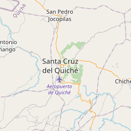
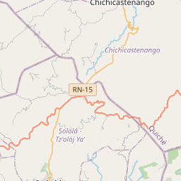
On the map
Last price
—
Floor price
—
7-day median
—
30-day sales
0
30-day range
—
In circulation
0
Price history
median
low – high
sales
No sales in this period
Show table
| Date | median | Low | High | sales |
|---|
Sales history
- Last sale
- —
- 30-day average
- —
- 30-day low
- —
- 30-day high
- —
- Sales 7d
- 0
- Sales 30d
- 0
No sales yet.
Anonymous sales: no buyer or seller shown. Figures count player-to-player sales only.
From Wikipedia
Chichicastenango, also known as Santo Tomás Chichicastenango, is a town, with a population of 71,394 (2018 census), and the municipal seat for the surrounding municipality of the same name in the El Quiché department of Guatemala. Situated on a high-altitude plateau of the Guatemalan Highlands at an elevation of 1,965 metres (6,447 ft). above sea level, the town historically served as a vital K'iche' Maya ceremonial and regional center. It is notably recognized as the historic location where the original manuscript of the Popol Vuh, the sacred narrative of the K'iche' people, was preserved and transcribed in the early 18th century. The Spanish conquistadors named the town Tzitzicaztenanco (meaning "place of nettles") using the Nahuatl language of their Tlaxcalan allies, replacing its original K'iche' name, Chaviar. Chichicastenango is a K'iche' Maya cultural centre. According to the 2012 census, 98.5% of the municipality's population is indigenous Mayan K'iche. Of the population, 21% speak only K'iche, 71% speak both K'iche and Spanish, and the remaining 8% speak only Spanish.
Text: Wikipédia, CC BY-SA 4.0. · Image: Toby Argüelles (CC BY-SA 2.0) ·
Related cards

U.S. Route 1
U.S. Numbered Highway in the United States
Nº Q406204 ★★★

Quetta
Capital of Balochistan Province, Pakistan
Nº Q185458 ★★★
Patna West Assembly constituency
Former legislative assembly constituency in Bihar, India
Nº Q111180947 ★★★

Einstein (crater)
Lunar crater
Nº Q766418 ★★★

Villarramiel
Human settlement in Palencia Province, Castile and León, Spain
Nº Q1769037 ★★★

Los Yébenes
Municipality of Spain
Nº Q1631881 ★★★