

Common · Places
Chopta
Village in Uttarakhand, India
Chopta is a small region of meadows and evergreen forest area, a part of Kedarnath wildlife sanctuary located in Uttarakhand state, India and a base for trekking to Tungnath, the third temple of Panch Kedar which lies 3.5 kilometres (2.2 mi) away. Located at a distance of 1.5 kilometres (0.93 mi) from Tungnath is Chandrashila, a summit rising to over 4,000 metres (13,000 ft).
On the map
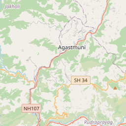
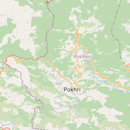
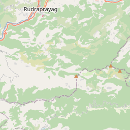
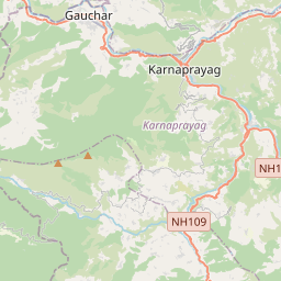
1 copy in circulation
From Wikipedia
Chopta is a small region of meadows and evergreen forest area, a part of Kedarnath wildlife sanctuary located in Uttarakhand state, India and a base for trekking to Tungnath, the third temple of Panch Kedar which lies 3.5 kilometres (2.2 mi) away. Located at a distance of 1.5 kilometres (0.93 mi) from Tungnath is Chandrashila, a summit rising to over 4,000 metres (13,000 ft). Chopta is an unspoiled natural destination lying in the lap of the Uttarakhand Himalayas and offers views of the imposing Himalayan range including Trishul, Nanda Devi and Chaukhamba. It is located at an elevation of 2,709 metres (8,888 ft) above sea level. Chopta village is surrounded by forests of pine, deodar and rhododendron and is rich in flora and fauna include rare species of birds and musk deer.
Text: Wikipédia, CC BY-SA 4.0. · Image: Alok (CC BY-SA 3.0) ·
Related cards
-
 ★★★
★★★
Kedarnath
Town in Unttarakhand, India
-
 ★
★
Chandrashila
Peak above Tungnath temple in Uttarakhand, India
-
 ★★
★★
Chakrata
Cantonment town in Deharadun district, Uttarakhand, India
-
 ★★
★★
Panch Kedar
Five Mahadev temple Hindu pilgrim circuit in the Garhwal region, Uttarakhand India
-
C★
Chota Char Dham
Hindu pilgrimage circuit of four sites in India
-
 ★
★
Rudranath
Village in Uttarakhand, India