
Clark Fork River
River in Idaho and Montana in the United States
The Clark Fork, or the Clark Fork of the Columbia River, is a river in the U.S. states of Montana and Idaho, approximately 310 miles (500 km) long. It is named after William Clark of the 1806 Lewis and Clark Expedition.
Nº Q664874 ★
Common · Places
Clark Fork River
River in Idaho and Montana in the United States
The Clark Fork, or the Clark Fork of the Columbia River, is a river in the U.S. states of Montana and Idaho, approximately 310 miles (500 km) long. It is named after William Clark of the 1806 Lewis and Clark Expedition.
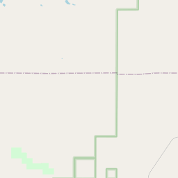
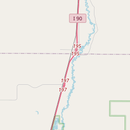
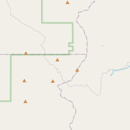
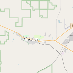
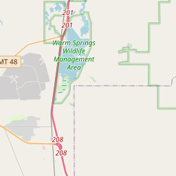
On the map

Last price
—
Floor price
—
7-day median
—
30-day sales
0
30-day range
—
In circulation
0
Price history
median
low – high
sales
No sales in this period
Show table
| Date | median | Low | High | sales |
|---|
Sales history
- Last sale
- —
- 30-day average
- —
- 30-day low
- —
- 30-day high
- —
- Sales 7d
- 0
- Sales 30d
- 0
No sales yet.
Anonymous sales: no buyer or seller shown. Figures count player-to-player sales only.
From Wikipedia
The Clark Fork, or the Clark Fork of the Columbia River, is a river in the U.S. states of Montana and Idaho, approximately 310 miles (500 km) long. It is named after William Clark of the 1806 Lewis and Clark Expedition. The largest river by volume in Montana, it drains an extensive region of the Rocky Mountains in western Montana and northern Idaho in the watershed of the Columbia River. The river flows northwest through a long valley at the base of the Cabinet Mountains and empties into Lake Pend Oreille in the Idaho Panhandle. The Pend Oreille River in Idaho, Washington, and British Columbia, which drains the lake to the Columbia in British Columbia, is sometimes included as part of the Clark Fork, giving it a total length of 479 miles (771 km), with a drainage area of 25,820 square miles (66,900 km2). In its upper 20 miles (32 km) in Montana near Butte, it is known as Silver Bow Creek. Interstate 90 follows much of the upper course of the river from Butte to Saint Regis. The highest point within the river's watershed is Mount Evans at 10,641 feet (3,243 m) in Deer Lodge County, Montana. The Clark Fork is a Class I river for recreational purposes in Montana from Warm Springs Creek to the Idaho border. It does offer whitewater for kayakers and rafters in the Alberton Gorge section, about 35 miles West of Missoula.
Text: Wikipédia, CC BY-SA 4.0. · Image: The original uploader was Sooter at English Wikipedia. (CC BY-SA 3.0) ·
Related cards

Spokane River
Tributary to the Columbia River in Idaho and Washington state, United States
Nº Q1275618 ★

Columbia River Gorge
Canyon along the border of Oregon and Washington in the United States
Nº Q1112581 ★★

River Forth
River in Scotland, flows into the Firth of Forth
Nº Q2421 ★★

Lake Pend Oreille
Lake in Kootenai and Bonner counties in Idaho, United States
Nº Q1632195 ★★★

Tennessee River
River in the southeastern United States
Nº Q193737 ★★★

Columbia Plateau
Plateau in Washington, Oregon, and Idaho in the United States
Nº Q401815 ★