
Clwyd
Preserved county of Wales
Clwyd ( KLOO-id, Welsh: [ˈklʊɨd] ) is a preserved county of Wales, situated in the north-east corner of the country; it is named after the River Clwyd, which runs through the area. To the north lies the Irish Sea, with the English ceremonial counties of Cheshire to the east and Shropshire to the south-east.
Nº Q1067984 ★
Common · Places
Clwyd
Preserved county of Wales
Clwyd ( KLOO-id, Welsh: [ˈklʊɨd] ) is a preserved county of Wales, situated in the north-east corner of the country; it is named after the River Clwyd, which runs through the area. To the north lies the Irish Sea, with the English ceremonial counties of Cheshire to the east and Shropshire to the south-east.
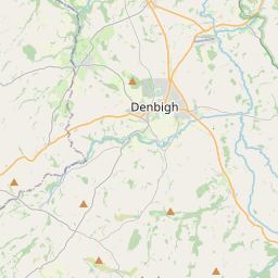
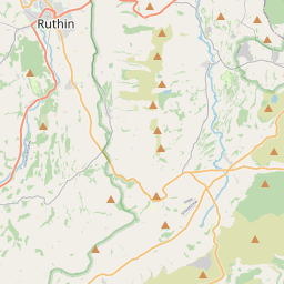
On the map
Last price
—
Floor price
—
7-day median
—
30-day sales
0
30-day range
—
In circulation
0
Price history
median
low – high
sales
No sales in this period
Show table
| Date | median | Low | High | sales |
|---|
Sales history
- Last sale
- —
- 30-day average
- —
- 30-day low
- —
- 30-day high
- —
- Sales 7d
- 0
- Sales 30d
- 0
No sales yet.
Anonymous sales: no buyer or seller shown. Figures count player-to-player sales only.
From Wikipedia
Clwyd ( KLOO-id, Welsh: [ˈklʊɨd] ) is a preserved county of Wales, situated in the north-east corner of the country; it is named after the River Clwyd, which runs through the area. To the north lies the Irish Sea, with the English ceremonial counties of Cheshire to the east and Shropshire to the south-east. Powys and Gwynedd lie to the south and west respectively. Clwyd also shares a maritime boundary with Merseyside along the River Dee. Between 1974 and 1996, a slightly different area had a county council, with local government functions shared with six district councils. In 1996, Clwyd was abolished, and the new principal areas of Conwy County Borough, Denbighshire, Flintshire and Wrexham County Borough were created; under this reorganisation, "Clwyd" became a preserved county, with the name being retained for certain ceremonial functions. This area of north-eastern Wales has been settled since prehistoric times; the Romans built a fort beside a ford on the River Conwy, and the Normans and Welsh disputed the territory. They built their castles at strategic locations as they advanced and retreated, but in the end England prevailed, and Edward I conquered the country in 1282. The Laws in Wales Act 1535 incorporated Wales under the English Crown and made it subject to English law. Traditionally, agriculture was the mainstay of the economy of this part of Wales, but with the Industrial Revolution, the North Wales Coalfield was developed and parts of eastern Clwyd around the Dee estuary and Wrexham became industrialised. The advent of the railway running from Chester along the North Wales coast in the mid-19th century made it easy for urban dwellers from Lancashire and Cheshire to visit the seaside towns of North Wales.
Text: Wikipédia, CC BY-SA 4.0. · Image: TUBS (CC BY-SA 3.0) ·
Related cards
-

Kwail County
County of North Korea
Nº Q705091 ★★★
Not listed
-

Cangwu County
County
Nº Q1033232 ★★
Not listed
-

Qihe County
County
Nº Q1198234 ★★
Not listed
-

Seocheon County
Administrative division of South Korea
Nº Q50249 ★
Not listed
-
C
Chunghwa County
County of North Korea
Nº Q704949 ★★
Not listed
-

Sêrtar County
County
Nº Q1200165 ★
Not listed