

Common · Places
Dharchula
Human settlement
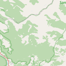
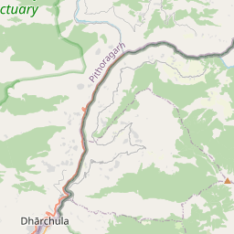
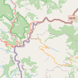
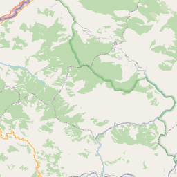
Dharchula (In Kumaoni: Dhàrchulà, धार्चुलऻ), is a town in the Pithoragarh district of Uttarakhand, India. It is located at an elevation of about 940 metres (3,080 ft) above sea level and is surrounded by high Himalayan peaks.
On the map
From Wikipedia
Dharchula (In Kumaoni: Dhàrchulà, धार्चुलऻ), is a town in the Pithoragarh district of Uttarakhand, India. It is located at an elevation of about 940 metres (3,080 ft) above sea level and is surrounded by high Himalayan peaks. The Mahakali River flows through the town, dividing it into two settlements situated on either bank—one in India and the other in Nepal. Residents on both sides of the border share close cultural, linguistic, and social ties, reflecting a long-standing common heritage. Local people are permitted to cross the river without passports or visas, facilitating interaction and trade. The population of the area includes Khas, Kumaoni, Dotyali, and Rung communities, contributing to its diverse cultural traditions. Dharchula is situated approximately 92 kilometres (57 mi) north of Pithoragarh, the district headquarters. It lies on the Pithoragarh–Lipulekh Pass Highway (PLPH) and falls along the route of the Kailash Mansarovar Yatra, a significant pilgrimage in Hinduism, Buddhism, and Jainism. Dharchula offers panoramic views of the Panchachuli peaks to its west and lies on several trekking routes in the region.
Text: Wikipédia, CC BY-SA 4.0. · Image: Puneet Hyanki (CC BY 2.0) ·


