
Dunkelsteinerwald
Mountain range in Lower Austria
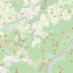
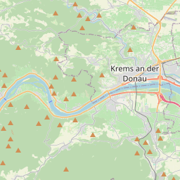
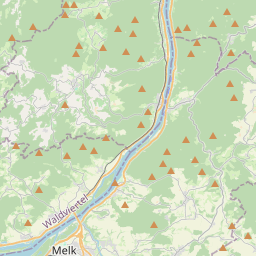
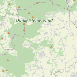
The Dunkelsteinerwald is a hill country south of the Danube in the Mostviertel region of Lower Austria. It is located at the shore of the Danube between Melk and Mautern, south of Krems.
Nº Q652755 ★★
Uncommon · Places
Dunkelsteinerwald
Mountain range in Lower Austria
The Dunkelsteinerwald is a hill country south of the Danube in the Mostviertel region of Lower Austria. It is located at the shore of the Danube between Melk and Mautern, south of Krems.
On the map
Last price
—
Floor price
—
7-day median
—
30-day sales
0
30-day range
—
In circulation
0
Price history
median
low – high
sales
No sales in this period
Show table
| Date | median | Low | High | sales |
|---|
Sales history
- Last sale
- —
- 30-day average
- —
- 30-day low
- —
- 30-day high
- —
- Sales 7d
- 0
- Sales 30d
- 0
No sales yet.
Anonymous sales: no buyer or seller shown. Figures count player-to-player sales only.
From Wikipedia
The Dunkelsteinerwald is a hill country south of the Danube in the Mostviertel region of Lower Austria. It is located at the shore of the Danube between Melk and Mautern, south of Krems. The principal towns of the region are Bergern im Dunkelsteinerwald, Langegg with a pilgrimage church, Wöbling, Karlstetten, Neidling, Hafnerbach, Gansbach, Gerolding, Mauer bei Melk, Dunkelsteinerwald, Haunoldstein and Schönbühel-Aggsbach. Geologically, the Dunkelsteinerwald hills are foothills of the Waldviertel, an upland in the northwest of Lower Austria north of the Danube river and thus belonging to the Bohemian Massif. The landscape reaches elevations up to 700m above sea level and is shaped by forestry and agriculture. Dunkelsteinerwald's climate is rougher clear than that of adjacent Wachau. Trade and industry are present only to a small extent. Thus, many inhabitants commute to the district capitals of Krems, St. Pölten and Melk.
Text: Wikipédia, CC BY-SA 4.0. · Image: Haeferl (CC BY-SA 4.0) ·
Related cards
-

Dinkelberg
Mountain range
Nº Q1226532 ★★
Not listed
-

Danube Gorge (Weltenburg)
Geotop in Landkreis Kelheim in Bavaria, Germany
Nº Q60054234 ★★★★
Not listed
-

Pöstlingberg
Mountain in Austria
Nº Q2120837 ★★★
Not listed
-

Dürrenstein (Austria)
Mountain in Lower Austria
Nº Q874810 ★★
Not listed
-

Mostviertel
Subdivision of the region of Lower Austria
Nº Q261949 ★★★
Not listed
-

Sauwald
Mountains in Austria
Nº Q2227891 ★★
Not listed