
Edgware Road
Major road through north-west London, starting at Marble Arch and running north to Edgware
Edgware Road is a major road in Greater London, England. The route originated as part of Roman Watling Street and, unusually in London, it runs for 10 miles (16 km) in an almost perfectly straight line.
Nº Q3047586 ★★
Uncommon · Places
Edgware Road
Major road through north-west London, starting at Marble Arch and running north to Edgware
Edgware Road is a major road in Greater London, England. The route originated as part of Roman Watling Street and, unusually in London, it runs for 10 miles (16 km) in an almost perfectly straight line.
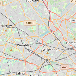
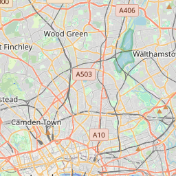
On the map
Last price
—
Floor price
—
7-day median
—
30-day sales
0
30-day range
—
In circulation
0
Price history
median
low – high
sales
No sales in this period
Show table
| Date | median | Low | High | sales |
|---|
Sales history
- Last sale
- —
- 30-day average
- —
- 30-day low
- —
- 30-day high
- —
- Sales 7d
- 0
- Sales 30d
- 0
No sales yet.
Anonymous sales: no buyer or seller shown. Figures count player-to-player sales only.
From Wikipedia
Edgware Road is a major road in Greater London, England. The route originated as part of Roman Watling Street and, unusually in London, it runs for 10 miles (16 km) in an almost perfectly straight line. Forming part of the modern A5 road, Edgware Road undergoes several name changes along its length, including Maida Vale, Kilburn High Road, Shoot Up Hill and Cricklewood Broadway; but the road is, as a whole, known as Edgware Road, as it is the road leading to Edgware. The road runs from central London to the suburban town of Edgware, beginning at Marble Arch in the City of Westminster and heading north to Edgware in the London Borough of Barnet. It is used as the boundary for four London boroughs: Harrow and Brent to the west, and Barnet and Camden to the east.
Text: Wikipédia, CC BY-SA 4.0. · Image: Bjenks (CC BY-SA 3.0) ·
Related cards

Circle line (London Underground)
London Underground line
Nº Q210321 ★★

Edgware
Suburban town in the London Boroughs of Harrow and Barnet
Nº Q149651 ★★

Oxford Street
Major road in the City of Westminster in London
Nº Q209714 ★★

Cricklewood
Area spanning the border of the London Boroughs of Brent and Camden
Nº Q149830 ★

Watling Street
Ancient trackway, one of the "Four Highways" of mediæval England
Nº Q1434239 ★★★

Ermine Street
Ancient trackway, one of the "Four Highways" of medieval England
Nº Q1355961 ★★