
Eemmeer
Lake in Netherlands, Eemmeer, Netherlands
The Eemmeer (Dutch pronunciation: [ˈeːmeːr]) is a lake situated in the middle of the Netherlands between the provinces of Flevoland, Utrecht, and North Holland. It measures 13.4 square kilometres (5.2 sq mi) and contains one small island, the Dode Hond (Dead Dog).
Nº Q1295357 ★
Common · Places
Eemmeer
Lake in Netherlands, Eemmeer, Netherlands
The Eemmeer (Dutch pronunciation: [ˈeːmeːr]) is a lake situated in the middle of the Netherlands between the provinces of Flevoland, Utrecht, and North Holland. It measures 13.4 square kilometres (5.2 sq mi) and contains one small island, the Dode Hond (Dead Dog).
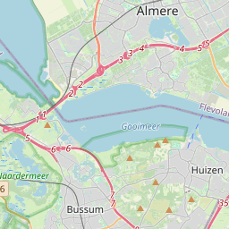
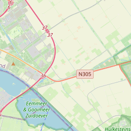
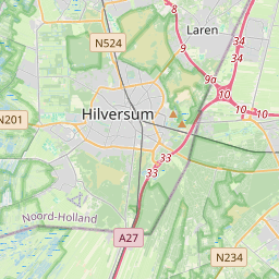
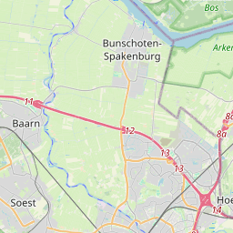
On the map
Last price
—
Floor price
—
7-day median
—
30-day sales
0
30-day range
—
In circulation
0
Price history
median
low – high
sales
No sales in this period
Show table
| Date | median | Low | High | sales |
|---|
Sales history
- Last sale
- —
- 30-day average
- —
- 30-day low
- —
- 30-day high
- —
- Sales 7d
- 0
- Sales 30d
- 0
No sales yet.
Anonymous sales: no buyer or seller shown. Figures count player-to-player sales only.
From Wikipedia
The Eemmeer (Dutch pronunciation: [ˈeːmeːr]) is a lake situated in the middle of the Netherlands between the provinces of Flevoland, Utrecht, and North Holland. It measures 13.4 square kilometres (5.2 sq mi) and contains one small island, the Dode Hond (Dead Dog). The Eemmeer is one in a series of peripheral lakes used to geohydrologically detach the low-lying polders of Flevoland from higher old mainland. The Eemmeer is connected to the peripheral lakes Gooimeer in the west, at the point where both lakes are crossed by the highway A27 bridge, and the Nijkerkernauw in the east. It is also connected to the lakes at the southern side of Markermeer near Amsterdam. The feeders of this lake system are the River IJssel (Rhine branch) and drains towards the North Sea.
Text: Wikipédia, CC BY-SA 4.0. · Image: GerardM at Dutch Wikipedia (CC BY-SA 3.0) ·
Related cards

Veluwemeer
Lake in Harderwijk, Gelderland, Netherlands
Nº Q543460 ★★★

Wolderwijd
Lake in Harderwijk, Gelderland, Netherlands
Nº Q2964846 ★★★

Nuldernauw
Lake in Ermelo, Gelderland, Netherlands
Nº Q943170 ★★

Zwarte Meer
Dutch lake
Nº Q231747 ★

IJsselmeer
Artificial lake in the Netherlands
Nº Q4121 ★★★★★

Aalsmeer
Municipality in North Holland, the Netherlands
Nº Q9897 ★★