


Feuerspitze
Mountain in the Lechtal Alps in Tyrol, Austria
Feuerspitze ("Fire-Peak") is a mountain in the Lechtal Alps of Tyrol. The elevation at its peak is 2,852 metres (9,357 ft). Feuerspitze is located 7 kilometres (4.3 mi) southeast of Holzgau.
Nº Q671118 ★
Common · Places
Feuerspitze
Mountain in the Lechtal Alps in Tyrol, Austria
Feuerspitze ("Fire-Peak") is a mountain in the Lechtal Alps of Tyrol. The elevation at its peak is 2,852 metres (9,357 ft). Feuerspitze is located 7 kilometres (4.3 mi) southeast of Holzgau.
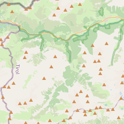
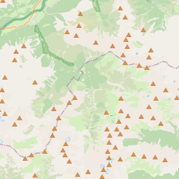
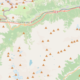
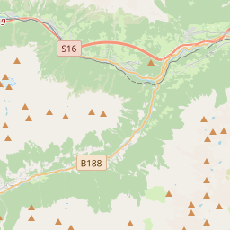
On the map
From Wikipedia
Feuerspitze ("Fire-Peak") is a mountain in the Lechtal Alps of Tyrol. The elevation at its peak is 2,852 metres (9,357 ft). Feuerspitze is located 7 kilometres (4.3 mi) southeast of Holzgau. From the Ansbacher Hütte, it takes three hours to climb to the summit of Feuerspitze.
Text: Wikipédia, CC BY-SA 4.0. · Image: Kogo (GFDL) ·
Related cards
-

Dremelspitze
Mountain
Nº Q670867 ★
Not listed
-

Leilachspitze
Mountain of the Allgäu Alps in Tyrol, Austria
Nº Q1552753 ★★
Not listed
-

Große Schlenkerspitze
Mountain
Nº Q871997 ★
Not listed
-

Holzgauer Wetterspitze
Mountain of the Lechtal Alps in the municipalities of Bach and Kaisers, Tyrol, Austria
Nº Q671067 ★★
Not listed
-

Vorderseespitze
Mountain of the Lechtal Alps in Tyrol, Austria
Nº Q508307 ★
Not listed
-

Bretterspitze
Mountain of the Allgäu Alps in Tyrol, Austria
Nº Q910959 ★
Not listed