

Uncommon · Places
Fluchthorn
Mountain of the Silvretta Alps at the border of Tyrol, Austria, and Grisons, Switzerland
The Fluchthorn or Piz Fenga is a mountain in the Silvretta Alps, located on the border between Austria and Switzerland. With a height of 3,397 metres (11,145 ft) above Adriatic Sea level, it is the second highest summit of the Silvretta Alps.
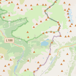
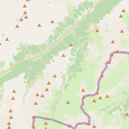
On the map


From Wikipedia
The Fluchthorn or Piz Fenga is a mountain in the Silvretta Alps, located on the border between Austria and Switzerland. With a height of 3,397 metres (11,145 ft) above Adriatic Sea level, it is the second highest summit of the Silvretta Alps. The Fluchthorn lies between the Jamtal (Tyrol) and the Val Fenga (Graubünden). It consists of three summits of which the southern one was the highest. The 3,399 metres (11,152 ft) southern summit (including the summit cross) collapsed in a massive landslide which occurred on 11 June 2023 around 15:30 CEST. The main peak (south peak) lost 62 feet (19 m). It fell in the western area of the peak, in the Futschöl Valley. The landslide was attributed to permafrost melt due to global warming. The middle peak (3,397 m) is now the highest point of the Fluchthorn and the second highest mountain of the Silvretta.
Text: Wikipédia, CC BY-SA 4.0. · Image: Crampon~commonswiki (CC BY-SA 3.0) ·
Related cards
-
 ★
★
Silvrettahorn
Mountain of the Silvretta Alps at the border of Vorarlberg, Austria, and Grisons, Switzerland
-
 ★
★
Flüela Wisshorn
Mountain
-
 ★
★
Piz Buin Pitschen
Mountain of the Silvretta Alps at the border of Vorarlberg, Austria, and Grisons, Switzerland
-
 ★
★
Fimbatal
Valley in Tyrol, Austria, and Graubünden, Switzerland
-
 ★
★
Gross Seehorn
Mountain of the Silvretta at the border of Vorarlberg, Austria, and Grisons, Switzerland
-
 ★★★★
★★★★
Montafon
Valley and region in the Austrian state of Vorarlberg