
Garrison Dam
Embankment dam on the Missouri River in central North Dakota, United States
Garrison Dam is an earth-fill embankment dam on the Missouri River in central North Dakota, U.S. Constructed by the U.S. Army Corps of Engineers from 1947 to 1953, at over two miles (3.2 km) in length, the dam is the fifth-largest earthen dam in the world. The reservoir impounded by the dam is Lake Sakakawea, which extends to Williston and the confluence with the Yellowstone River, near the Montana border.
Nº Q1426217 ★
Common · Places
Garrison Dam
Embankment dam on the Missouri River in central North Dakota, United States
Garrison Dam is an earth-fill embankment dam on the Missouri River in central North Dakota, U.S. Constructed by the U.S. Army Corps of Engineers from 1947 to 1953, at over two miles (3.2 km) in length, the dam is the fifth-largest earthen dam in the world. The reservoir impounded by the dam is Lake Sakakawea, which extends to Williston and the confluence with the Yellowstone River, near the Montana border.
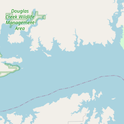
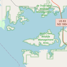
On the map
Last price
—
Floor price
—
7-day median
—
30-day sales
0
30-day range
—
In circulation
0
Price history
median
low – high
sales
No sales in this period
Show table
| Date | median | Low | High | sales |
|---|
Sales history
- Last sale
- —
- 30-day average
- —
- 30-day low
- —
- 30-day high
- —
- Sales 7d
- 0
- Sales 30d
- 0
No sales yet.
Anonymous sales: no buyer or seller shown. Figures count player-to-player sales only.
From Wikipedia
Garrison Dam is an earth-fill embankment dam on the Missouri River in central North Dakota, U.S. Constructed by the U.S. Army Corps of Engineers from 1947 to 1953, at over two miles (3.2 km) in length, the dam is the fifth-largest earthen dam in the world. The reservoir impounded by the dam is Lake Sakakawea, which extends to Williston and the confluence with the Yellowstone River, near the Montana border. The dam and resulting reservoir inundated approximately one-sixth (16.6%) to one-fourth (25%) of Fort Berthold Indian Reservation's land, resulting in the loss of homes, farmland, and community infrastructure for the Three Affiliated Tribes.
Text: Wikipédia, CC BY-SA 4.0. · Image: Harry Weddington, U.S. Army Corps of Engineers (Public domain) ·
Related cards

Lake Sakakawea
Reservoir on the Missouri River in North Dakota, United States
Nº Q1801077 ★★

Lac des Dix
Reservoir of Grande Dixence Dam
Nº Q5834768 ★★★★

Lake Volta
World's largest man-made reservoir by surface area, located in Ghana
Nº Q201679 ★★★

Kariba Dam
A double curvature concrete arch dam in the Kariba Gorge of the Zambezi river basin between Zambia and Zimbabwe
Nº Q1367609 ★★★★

Teton Dam
Former earthen dam on the Teton River in Idaho, United States
Nº Q1595414 ★★

Aswan Low Dam
Dam in Egypt
Nº Q921582 ★★