
Glamorgan
Historic county in Wales
Glamorgan (), or sometimes Glamorganshire (Welsh: Morgannwg [mɔrˈɡanʊɡ] or Sir Forgannwg [ˈsiːr vɔrˈɡanʊɡ]), was one of the thirteen counties of Wales that existed from 1536 until their abolition in 1974. It is located in South Wales.
Nº Q870815 ★★
Uncommon · Places
Glamorgan
Historic county in Wales
Glamorgan (), or sometimes Glamorganshire (Welsh: Morgannwg [mɔrˈɡanʊɡ] or Sir Forgannwg [ˈsiːr vɔrˈɡanʊɡ]), was one of the thirteen counties of Wales that existed from 1536 until their abolition in 1974. It is located in South Wales.
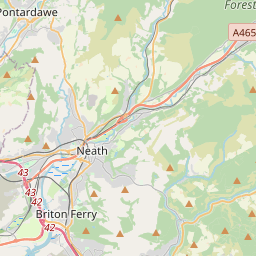
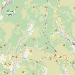
On the map
Last price
—
Floor price
—
7-day median
—
30-day sales
0
30-day range
—
In circulation
0
Price history
median
low – high
sales
No sales in this period
Show table
| Date | median | Low | High | sales |
|---|
Sales history
- Last sale
- —
- 30-day average
- —
- 30-day low
- —
- 30-day high
- —
- Sales 7d
- 0
- Sales 30d
- 0
No sales yet.
Anonymous sales: no buyer or seller shown. Figures count player-to-player sales only.
From Wikipedia
Glamorgan (), or sometimes Glamorganshire (Welsh: Morgannwg [mɔrˈɡanʊɡ] or Sir Forgannwg [ˈsiːr vɔrˈɡanʊɡ]), was one of the thirteen counties of Wales that existed from 1536 until their abolition in 1974. It is located in South Wales. Originally an early medieval petty kingdom of varying boundaries known in Welsh as Morgannwg (or Glywysing), which was then invaded and taken over by the Normans as the Lordship of Glamorgan. The area that became known as Glamorgan was both a rural, pastoral area, and a conflict point between the Norman lords and the Welsh princes. It was defined by a large concentration of castles. After falling under English rule in the 16th century, Glamorgan became a more stable county, and exploited its natural resources to become an important part of the Industrial Revolution. Glamorgan was the most populous and industrialised county in Wales, and was once called the "crucible of the Industrial Revolution", as it contained the world centres of three metallurgical industries (iron, steel and copper) and its rich resources of coal. Under the Local Government Act 1972, the county boroughs and administrative county of Glamorgan were abolished on 1 April 1974, with three new counties being established, each containing a former county borough: West Glamorgan, Mid Glamorgan, South Glamorgan. The name also survives in that of Vale of Glamorgan, a county borough. Glamorgan comprised distinct regions: the industrial valleys, the agricultural vale and the scenic Gower Peninsula. The county had boundaries with Brecknockshire (north), Monmouthshire (east), Carmarthenshire (west), and to the south it was bordered by the Bristol Channel. The total area was 2,100 km2 (811 sq mi). Glamorgan contained two cities, Cardiff, the county town and from 1955 the capital city of Wales, and Swansea. The highest point in the county was Craig y Llyn (600 metres (1,969 ft)) near...
Text: Wikipédia, CC BY-SA 4.0. · Image: User:Hogweard (Public domain) ·
Related cards

Monmouthshire (historic)
Historic county in Wales
Nº Q1245075 ★

Vale of Glamorgan
Principal area in south-east Wales, United Kingdom
Nº Q844784 ★★

Rhondda
Former coalmining area in South Wales
Nº Q1859627 ★

Gower Peninsula
Peninsula in Wales
Nº Q1141148 ★★

South Wales
Geographical region of Wales
Nº Q1286223 ★★

Cardiff
Capital city of Wales, United Kingdom
Nº Q10690 ★★★★