
Glarus thrust
Landform
The Glarus thrust (German: Glarner Überschiebung) is a major thrust fault in the Alps of eastern Switzerland. Along the thrust the Helvetic nappes were thrust more than 100 km to the north over the external Aarmassif and Infrahelvetic complex.
Nº Q312118 ★★★
Rare · Places
Glarus thrust
Landform
The Glarus thrust (German: Glarner Überschiebung) is a major thrust fault in the Alps of eastern Switzerland. Along the thrust the Helvetic nappes were thrust more than 100 km to the north over the external Aarmassif and Infrahelvetic complex.
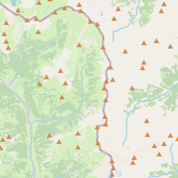
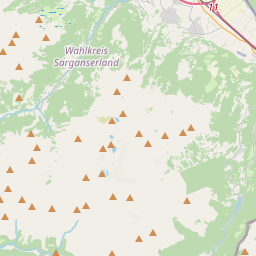
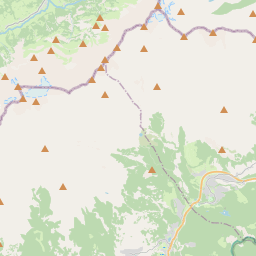
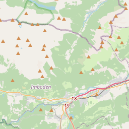
On the map
Last price
—
Floor price
—
7-day median
—
30-day sales
0
30-day range
—
In circulation
0
Price history
median
low – high
sales
No sales in this period
Show table
| Date | median | Low | High | sales |
|---|
Sales history
- Last sale
- —
- 30-day average
- —
- 30-day low
- —
- 30-day high
- —
- Sales 7d
- 0
- Sales 30d
- 0
No sales yet.
Anonymous sales: no buyer or seller shown. Figures count player-to-player sales only.
From Wikipedia
The Glarus thrust (German: Glarner Überschiebung) is a major thrust fault in the Alps of eastern Switzerland. Along the thrust the Helvetic nappes were thrust more than 100 km to the north over the external Aarmassif and Infrahelvetic complex. The thrust forms the contact between older (Helvetic) Permo-Triassic rock layers of the Verrucano group and younger (external) Jurassic and Cretaceous limestones and Paleogene flysch and molasse. The Glarus thrust crops out over a relatively large area in the cantons Glarus, St. Gallen and Graubünden, due to its horizontal orientation and the high local relief. Famous outcrops include those at Lochsite near Glarus (the town) and in a mountain cliff called Tschingelhörner between Elm and Flims (in the same cliff is a natural hole called the Martinsloch).
Text: Wikipédia, CC BY-SA 4.0. · Image: Roland Zumbühl (Picswiss), Arlesheim (Commons:Picswiss proje... (CC BY-SA 3.0) ·
Related cards
-

Alpine Fault
Right-lateral strike-slip fault that runs almost the entire length of New Zealand's South Island
Nº Q1850372 ★
Not listed
-

Glärnisch
Mountain of the Glarus Alps
Nº Q15260 ★★
Not listed
-

Uri Alps
Mountain range of the Alps in Switzerland
Nº Q869491 ★★
Not listed
-

Aare Gorge
Canyon in Switzerland
Nº Q301191 ★★★
Not listed
-

Gorner Glacier
Glacier in Switzerland
Nº Q665077 ★★★
Not listed
-

Limestone Alps
Mountain range in the Alps
Nº Q1272442 ★★★
Not listed