
Grauspitz
Mountain
The Grauspitz (Vorder Grauspitze or Vorder Grauspitz on some maps) is a mountain in the Rätikon range of the Alps, located on the border between Liechtenstein and Switzerland. With an elevation of 2,599 metres (8,527 ft) above sea level, the Grauspitz is the highest mountain in Liechtenstein.
Nº Q665000 ★★
Uncommon · Places
Grauspitz
Mountain
The Grauspitz (Vorder Grauspitze or Vorder Grauspitz on some maps) is a mountain in the Rätikon range of the Alps, located on the border between Liechtenstein and Switzerland. With an elevation of 2,599 metres (8,527 ft) above sea level, the Grauspitz is the highest mountain in Liechtenstein.
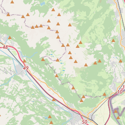
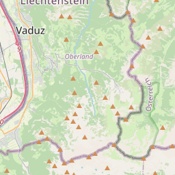
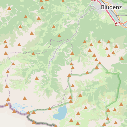
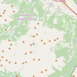
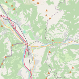
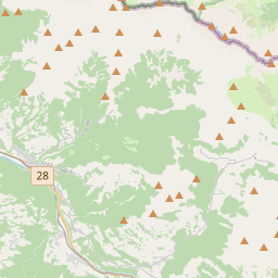
On the map
Last price
—
Floor price
—
7-day median
—
30-day sales
0
30-day range
—
In circulation
0
Price history
median
low – high
sales
No sales in this period
Show table
| Date | median | Low | High | sales |
|---|
Sales history
- Last sale
- —
- 30-day average
- —
- 30-day low
- —
- 30-day high
- —
- Sales 7d
- 0
- Sales 30d
- 0
No sales yet.
Anonymous sales: no buyer or seller shown. Figures count player-to-player sales only.
From Wikipedia
The Grauspitz (Vorder Grauspitze or Vorder Grauspitz on some maps) is a mountain in the Rätikon range of the Alps, located on the border between Liechtenstein and Switzerland. With an elevation of 2,599 metres (8,527 ft) above sea level, the Grauspitz is the highest mountain in Liechtenstein. It is also the highest summit of the Rätikon range west of the Schesaplana massif. The mountain lies between the valleys of Lawenatal (municipality of Triesen) on the north and the Fläscher Tal (canton of Graubünden, municipality of Fläsch) on the south. Both sides of the Grauspitz are in the basin of the Rhine, which flows approximately 7 kilometres (4.3 miles) west of the mountain. The easiest route to the summit ascends over the peak Hinter Grauspitz, and along a class 3–4 razor ridge.
Text: Wikipédia, CC BY-SA 4.0. · Image: Svickova (Public domain) ·
Related cards
-

Schesaplana
Mountain of the Rätikon at the border of Vorarlberg, Austria and Grisons, Switzerland
Nº Q15241 ★★★★
Not listed
-

Kirchlispitzen
Mountain in the Rätikon at the border Vorarlberg / Grisons
Nº Q1743348 ★
Not listed
-

Dreiländerspitze
Mountain in the Silvretta at the border Vorarlberg / Tyrol / Grisons
Nº Q673909 ★★
Not listed
-

Ellhorn
Mountain in the Rätikon in Grissons
Nº Q15055970 ★★
Not listed
-

Zugspitze
Highest peak of the Wetterstein Mountains (Eastern Alps)
Nº Q3375 ★★★★★★
Not listed
-

Ringelspitz
Mountain of the Glarus Alps
Nº Q15137 ★★
Not listed