

Common · Places
Hattersley
Village and housing estate in Greater Manchester, England, UK
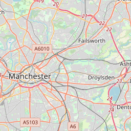
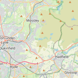
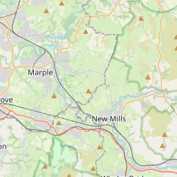
Hattersley is a housing estate in the Tameside district of Greater Manchester, England, 1.5 miles (2.4 km) east of Hyde, 4 miles (6.4 km) west of Glossop and 10 miles (16 km) east of Manchester, at the eastern terminus of the M67. The estate had a population of 6,960 at the 2021 census.
On the map
From Wikipedia
Hattersley is a housing estate in the Tameside district of Greater Manchester, England, 1.5 miles (2.4 km) east of Hyde, 4 miles (6.4 km) west of Glossop and 10 miles (16 km) east of Manchester, at the eastern terminus of the M67. The estate had a population of 6,960 at the 2021 census. It lies within the historic county boundaries of Cheshire, and became part of Greater Manchester in 1974. The area was developed as a large overspill estate by Manchester City Council from the 1960s onwards.
Text: Wikipédia, CC BY-SA 4.0. · Image: Alexander P Kapp (CC BY-SA 2.0) ·
Related cards
-
H★★
Hacıömerderesi, Bigadiç
Mahalle (administrative quarter) in Bigadiç, Balıkesir, northwestern Turkey
-
 ★★★★
★★★★
Mahmudiye
District and municipality in Eskişehir, Turkey
-
M★
Magnesia (regional unit)
Regional unit in Thessaly, Greece
-
 ★★
★★
Özdere
Mahalle (administrative quarter) in Menderes, İzmir, western Turkey
-
 ★★★
★★★
Terazidere
Mahalle (administrative quarter) in Bayrampaşa, İstanbul–Europe, northwestern Turkey
-
F★★★
Ferhatpaşa, Ataşehir
Mahalle (administrative quarter) in Ataşehir, İstanbul–Asia, northwestern Turkey