

Common · Places
Helme (river)
River in Germany
The Helme (German pronunciation: [ˈhɛlmə] ) is a river in central Germany that is about 65 kilometres (40 mi) long and which forms a left-hand, western tributary of the Unstrut in the states of Thuringia and Saxony-Anhalt.
On the map
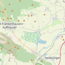
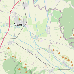
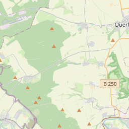
From Wikipedia
The Helme (German pronunciation: [ˈhɛlmə] ) is a river in central Germany that is about 65 kilometres (40 mi) long and which forms a left-hand, western tributary of the Unstrut in the states of Thuringia and Saxony-Anhalt. The river rises in Thuringia south of the Harz mountains in the district of Eichsfeld. Its source lies amongst the northern foothills of the Ohm Hills between Weißenborn-Lüderode and Stöckey by the Helmspring. The Helme flows eastwards through the municipalities of Hohenstein and Werther to Nordhausen. Near Heringen the river is joined by the waters of the Zorge from the Harz. Northwest of the Kyffhäuser hills it is impounded into a reservoir and a flood retention basin by the Kelbra Dam in the Goldene Aue. From there the Helme – now in the state of Saxony-Anhalt – continues eastwards flowing through Roßla towards Allstedt, where it then swings south and enters Thuringia again. Near Kalbsrieth, southeast of Artern, it discharges into the Unstrut. The Helme watershed (German river index: 5648) together with the Kleine Helme (German river index: 5647.6) has a catchment of approximately 1,364 km, whereby the watershed determination was recorded using the following topographical data: QGIS 3.4 with OSM Topo Map in the date WGS84, pseudo mercator (https://opentopomap.org). Wikipedia only mentions 1318.1 km for the Helme watershed.
Text: Wikipédia, CC BY-SA 4.0. · Image: Pomfuttge (CC BY-SA 3.0) ·