
Hers-Vif
River in France
The Hers-Vif (French pronunciation: [ɛʁs vif], "Live Hers" (Occitan: Erç Viure), as opposed to the slower flowing Hers-Mort, "Dead Hers"), also named Grand Hers or simply Hers, is a 135-kilometre (84 mi) long river in southern France, right tributary of the Ariège. The Hers-Vif rises at an elevation of about 1,500 metres (4,900 ft) near the Chioula Pass of the Pyrenees, approximately 6 kilometres (4 mi) north of Ax-les-Thermes.
Nº Q429566 ★★
Uncommon · Places
Hers-Vif
River in France
The Hers-Vif (French pronunciation: [ɛʁs vif], "Live Hers" (Occitan: Erç Viure), as opposed to the slower flowing Hers-Mort, "Dead Hers"), also named Grand Hers or simply Hers, is a 135-kilometre (84 mi) long river in southern France, right tributary of the Ariège. The Hers-Vif rises at an elevation of about 1,500 metres (4,900 ft) near the Chioula Pass of the Pyrenees, approximately 6 kilometres (4 mi) north of Ax-les-Thermes.
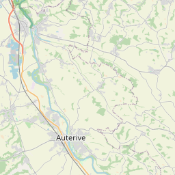
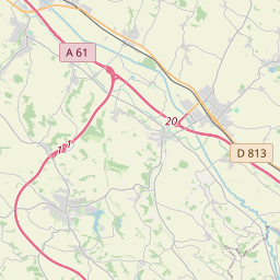
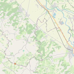
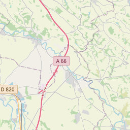
On the map
Last price
—
Floor price
—
7-day median
—
30-day sales
0
30-day range
—
In circulation
0
Price history
median
low – high
sales
No sales in this period
Show table
| Date | median | Low | High | sales |
|---|
Sales history
- Last sale
- —
- 30-day average
- —
- 30-day low
- —
- 30-day high
- —
- Sales 7d
- 0
- Sales 30d
- 0
No sales yet.
Anonymous sales: no buyer or seller shown. Figures count player-to-player sales only.
From Wikipedia
The Hers-Vif (French pronunciation: [ɛʁs vif], "Live Hers" (Occitan: Erç Viure), as opposed to the slower flowing Hers-Mort, "Dead Hers"), also named Grand Hers or simply Hers, is a 135-kilometre (84 mi) long river in southern France, right tributary of the Ariège. The Hers-Vif rises at an elevation of about 1,500 metres (4,900 ft) near the Chioula Pass of the Pyrenees, approximately 6 kilometres (4 mi) north of Ax-les-Thermes. It is the major tributary of the Ariège into whose right bank it flows 2 kilometres (1.2 mi) upstream from Cintegabelle in the Haute-Garonne. It flows some 30 kilometres (19 mi) through the Pyrenees, descending 1,100 metres (3,600 ft) to the village of Peyrat, where it reaches a piedmont plain. Its valley widens as it traverses the plain, reaching the medieval city of Mirepoix, which marks the start of its lower valley. Several rivers flow into it: From the Pyrenees: the Lasset; the Fontaine de Fontestorbes; the Touyre From the piedmont plain and hills: the Blau and the Douctouyre; From the hills of Lauragais and Razès: the Ambronne and the Vixiège Departments and towns along its course are: Ariège: Prades, Bélesta, La Bastide-sur-l'Hers, Mirepoix, Mazères Aude: Comus, Chalabre Haute-Garonne: Calmont
Text: Wikipédia, CC BY-SA 4.0. · Image: The original uploader was Audouy at French Wikipedia. (CC BY-SA 3.0) ·
Related cards
-

Hers-Mort
River in France
Nº Q897443 ★★
Not listed
-

Dives (river)
River
Nº Q118784 ★★
Not listed
-

Gave de Pau
River of South-Western France
Nº Q855193 ★★★
Not listed
-

Dive (river)
River in France
Nº Q1129962 ★★
Not listed
-

Ardèche (river)
River in France
Nº Q640263 ★★★★
Not listed
-

Vis (river)
River in France
Nº Q1301259 ★★★
Not listed