
High Desert (Oregon)
Region of the U.S. state of Oregon
The Oregon High Desert is located in the southeast of the U.S. state of Oregon, east of the Cascade Range and south of the Blue Mountains. The desert covers most of five Oregon counties and averages 4,000 feet (1,200 m) in altitude.
Nº Q3128484 ★★
Uncommon · Places
High Desert (Oregon)
Region of the U.S. state of Oregon
The Oregon High Desert is located in the southeast of the U.S. state of Oregon, east of the Cascade Range and south of the Blue Mountains. The desert covers most of five Oregon counties and averages 4,000 feet (1,200 m) in altitude.
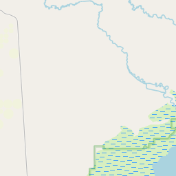
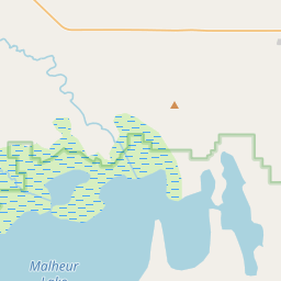
On the map


Last price
—
Floor price
—
7-day median
—
30-day sales
0
30-day range
—
In circulation
0
Price history
median
low – high
sales
No sales in this period
Show table
| Date | median | Low | High | sales |
|---|
Sales history
- Last sale
- —
- 30-day average
- —
- 30-day low
- —
- 30-day high
- —
- Sales 7d
- 0
- Sales 30d
- 0
No sales yet.
Anonymous sales: no buyer or seller shown. Figures count player-to-player sales only.
From Wikipedia
The Oregon High Desert is located in the southeast of the U.S. state of Oregon, east of the Cascade Range and south of the Blue Mountains. The desert covers most of five Oregon counties and averages 4,000 feet (1,200 m) in altitude. The northern region is part of the Columbia Plateau, where higher levels of rainfall allow the largest industry on private land to be the cultivation of alfalfa and hay. The southwest region is part of the Great Basin and the southeast is the lower Owyhee River watershed. The U.S. Bureau of Land Management owns most of the region's public land and manages more than 30,000 square miles (78,000 km2) including five rivers designated as Wild and Scenic. Compared to Western Oregon, the high desert is arid, averaging 15 inches (380 mm) of annual rainfall. Contrary to its name, most of the high desert is not dry enough to truly qualify as desert, and ecologically, most of the region is classified as shrubland or steppe. At 9,733 ft (2,967 m) above sea level, the summit of Steens Mountain is the highest point in the high desert. The broad fault-block mountain is characteristic of the basin and range plate tectonics of the high desert. About 16 million years ago, during the early Miocene epoch, lava flows from volcanic eruptions covered about half the surface area of Oregon. The Earth's crust then began stretching, giving way to further volcanic activity from 15 million to 2 million years ago. Several ice ages over this time formed the large lakes in the high desert. The climate of the high desert provides habitat for mammals such as pronghorn, coyote, mule deer, black-tailed jackrabbit, and cougar. Birds common in the region include sage-grouse, California quail, and prairie falcon. The western juniper is the most common...
Text: Wikipédia, CC BY-SA 4.0. · Image: Orygun (CC BY-SA 4.0) ·
Related cards

High Desert (California)
Geographic area of southern California
Nº Q5755310 ★★

Great Basin Desert
Desert in the United States
Nº Q273446 ★★

High Plains (United States)
Subregion of the Great Plains mostly in the Western United States
Nº Q1548512 ★★

Mojave Desert
Desert in southwestern United States
Nº Q184355 ★★★★

Willamette Valley
Valley in Oregon, United States
Nº Q1703681 ★★★

Blue Mountains (Pacific Northwest)
Mountain range in northeast Oregon and southeast Washington, USA
Nº Q885809 ★